
Commercial property decisions involve significant investments, making reliable site information a valuable business asset. Drone technology and professional surveying give business owners a clearer understanding of their property's condition before important decisions move forward. That insight supports better planning, helps reduce unnecessary risks, and creates a stronger foundation for future projects. It also provides reliable data to guide development, maintenance, and long-term property management without relying on assumptions. Businesses that invest in accurate site intelligence are better prepared to make confident decisions while protecting the value of their commercial properties.
Why Businesses Invest in Drone Surveys
Commercial property decisions become easier when reliable information guides every step. Drone technology and professional surveying provide accurate site data that supports planning, construction, maintenance, and future development. Business owners gain a clearer understanding of their property before committing time, resources, and capital.
Better Information Supports Better Decisions
Every commercial property presents unique opportunities and challenges that are not always visible from the ground. Drone inspections capture detailed aerial imagery, while professional surveys verify boundaries, elevations, and existing site conditions. Together, they create dependable records that help owners evaluate properties, plan improvements, and manage ongoing operations. That information also supports due diligence, budgeting, and project coordination with greater confidence. Clear site intelligence reduces guesswork and gives decision-makers a stronger foundation for every stage of property ownership. Businesses can move forward knowing their plans are based on current, accurate information.
Reliable Data Creates Long-Term Value
The benefits of drone surveys continue well beyond the first inspection. Updated aerial imagery and survey data help document property changes, monitor assets, and support future expansion plans. Business owners can also use those records during property transactions, insurance reviews, and capital improvement projects. Accurate documentation reduces unnecessary delays because project teams work from the same verified information. Over time, dependable site records become valuable business assets that support faster decisions and better risk management. Investing in quality property data today helps companies make more informed decisions for years to come.
Why Drones and Surveys Matter
Successful commercial property projects begin with a clear understanding of the land and structures involved. Drone technology and professional surveying provide reliable site information that supports planning, development, maintenance, and future improvements. That combination gives business owners the confidence to make informed decisions before committing valuable time and resources.
Better Decisions Begin With Better Site Data
Every commercial project starts with questions about the property's condition, boundaries, and future potential. Reliable information answers those questions before construction, expansion, or maintenance begins. Modern aerial mapping and professional surveying provide the confidence needed to move forward with fewer unknowns.
Drone Technology Provides a Complete Property View
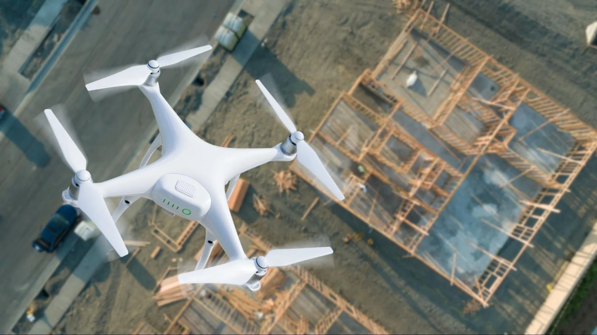
Walking a property reveals only part of the story because many details remain difficult to see from the ground. Drone inspections capture high-resolution aerial imagery that shows rooftops, parking lots, drainage patterns, access roads, and surrounding features in a single flight. Those visuals help identify developing concerns before they affect budgets or project schedules. Property owners also receive current documentation that supports planning instead of relying on outdated site records. The resulting aerial data creates a clearer picture of existing conditions for everyone involved. Better visibility leads to more informed decisions throughout the life of the property.
Professional Surveys Add Accuracy to Every Plan
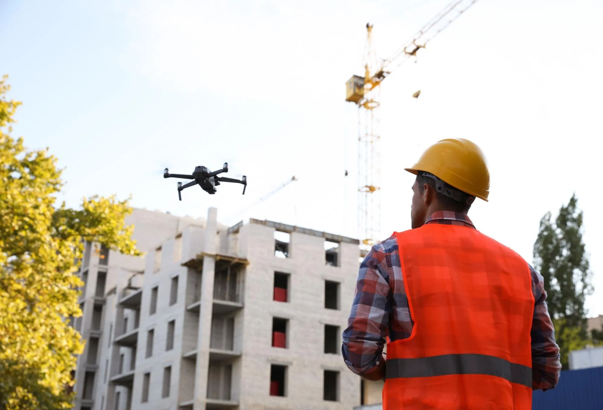
Aerial imagery becomes far more valuable when paired with professional land surveying. Licensed surveyors verify property boundaries, elevations, easements, and existing conditions using precise field measurements. Those findings support architects, engineers, contractors, and developers as projects move from planning into construction. Survey deliverables such as boundary surveys, topographic surveys, elevation models, and orthomosaic maps provide dependable information for design and due diligence. Accurate measurements also reduce the risk of costly disputes, redesigns, and unexpected site conflicts. Business owners gain confidence because verified property data support every important decision.
Reduce Risk Before Construction Starts
Construction projects move more efficiently when site conditions are fully understood before work begins. Early inspections reveal issues that could delay schedules or increase costs if discovered later. Drone mapping and professional surveying help project teams solve problems during planning instead of reacting during construction.
Find Problems Before They Affect the Budget
Uneven terrain, drainage concerns, utility conflicts, and grading issues often remain unnoticed during basic site visits. Drone flights document these conditions across the property with detailed aerial imagery that is easy to review and share. Surveyors confirm those observations with accurate field measurements, giving designers and engineers dependable information before finalizing plans. Early site intelligence allows adjustments before equipment arrives, reducing the chance of expensive changes during construction. Business owners benefit from better budget control because fewer surprises appear after work has started. Strong preparation keeps projects closer to their intended schedule while supporting better financial outcomes.
Improve Communication Across the Project Team
Commercial developments bring together owners, architects, engineers, contractors, consultants, and investors. Every decision becomes easier when each stakeholder works from the same reliable information. Drone imagery explains site conditions visually, while survey reports provide the technical detail required for planning and construction. That combination reduces misunderstandings and keeps discussions focused on verified facts rather than assumptions. Clear documentation also speeds up approvals because questions can be answered with current property records. Better communication creates smoother coordination from the earliest planning stages through project completion.
Support Every Stage of Property Ownership
The value of drone inspections and professional surveying extends well beyond the construction phase. Business owners continue making decisions about maintenance, renovations, expansions, and future investments throughout a property's lifecycle. Current site data provides the clarity needed to manage those decisions with greater confidence.
Simplify Routine Property Maintenance
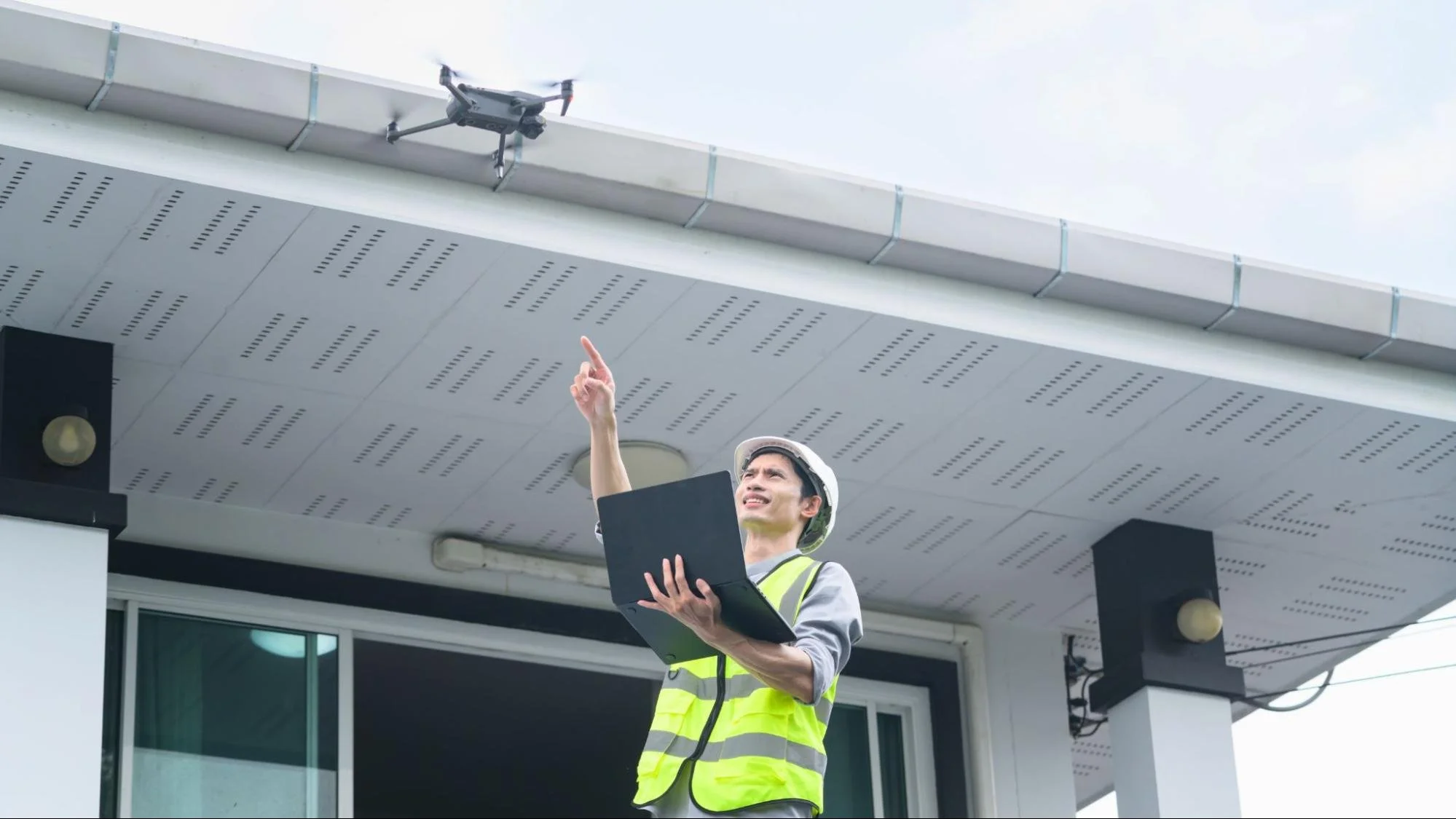
Commercial buildings require regular inspections to keep operations running smoothly and protect long-term value. Drone technology captures detailed images of roofs, building exteriors, parking lots, and other hard-to-reach areas without disrupting daily business activities. Maintenance teams can compare current images with previous inspections to identify gradual changes before they become costly repairs. Those visual records also help prioritize maintenance based on actual property conditions instead of assumptions. Routine aerial inspections create a reliable history that supports long-term asset management. Business owners gain a practical way to monitor their properties while reducing unnecessary inspection time and safety risks.
Plan Future Expansions With Confidence
Growing businesses often need additional space to support changing operations. Before expanding a facility, owners need accurate information about available land, existing infrastructure, and potential site limitations. Professional surveys identify boundaries, easements, setbacks, and elevation changes that influence future development plans. Drone mapping complements those findings with updated aerial views that make site layouts easier to evaluate. Together, these services help businesses plan realistic expansions while avoiding unexpected obstacles. Better preparation supports smarter investments that align with long-term business goals.
Build Stronger Property Records
Accurate documentation supports every major commercial property decision, from financing and insurance to renovations and future sales. Keeping those records current helps business owners respond quickly when new opportunities or challenges arise. Drone inspections and professional surveying create dependable documentation that remains valuable long after the initial project is complete.
Create Reliable Documentation for Every Project
Commercial properties evolve as new buildings, utilities, parking areas, and infrastructure are added over time. Updated surveys document those changes with precise measurements, while drone imagery captures current site conditions from above. Together, they produce valuable records such as orthomosaic maps, topographic surveys, elevation models, and digital site documentation. Those deliverables support design updates, construction verification, and future planning with consistent information. Organized records also simplify communication between owners, consultants, contractors, and regulatory agencies. Reliable documentation saves time because everyone works from the same accurate property data.
Support Due Diligence and Compliance
Property transactions and development projects require dependable information before important decisions move forward. Accurate survey data helps verify boundaries, existing improvements, and site conditions during due diligence. Drone imagery provides additional visual documentation that supports zoning reviews, planning discussions, environmental assessments, and property evaluations. Lenders, investors, insurers, and project teams all benefit from current records that reduce uncertainty during the review process. Better documentation also helps business owners prepare for future improvements without repeating unnecessary site investigations. Reliable property records create lasting value beyond a single project.
Turn Accurate Site Data Into Business Growth
Reliable property information creates opportunities that extend beyond construction and maintenance. Better site intelligence supports stronger financial decisions, improves operational planning, and helps protect valuable commercial assets over time. Businesses that invest in accurate property data place themselves in a stronger position for future success.
Make Smarter Investment Decisions
Every commercial property represents a significant financial commitment that deserves careful evaluation. Drone inspections and professional surveys provide current information that helps owners assess development opportunities, infrastructure conditions, and potential risks before investing additional resources. Accurate site intelligence also supports budgeting, capital planning, property acquisitions, and long-term asset management. Business owners can make informed decisions using verified information instead of estimates or outdated records. That confidence helps reduce unnecessary spending while supporting more strategic investments.
Act Before Small Problems Become Larger Costs
Minor property issues rarely remain small when they go unnoticed for long periods. Routine drone inspections identify developing concerns before they affect operations or require extensive repairs. Updated surveys also verify changing site conditions before renovations, expansions, or property transactions begin. Taking action early helps businesses reduce disruptions while protecting maintenance budgets and project schedules. Consistent site monitoring gives owners greater confidence because decisions are based on current conditions rather than assumptions.
Invest in Drones and Surveying Today
Every commercial property presents opportunities that become easier to recognize with accurate site information. Investing in drone technology and professional surveying gives you reliable data to plan wisely, manage risks, and support future growth with greater confidence. Small decisions backed by dependable information often lead to stronger long-term results, making accurate property intelligence one of the smartest investments you can make for your business.
The right information can shape every stage of your commercial property journey. Discover more expert articles, project insights, and surveying best practices on the LNE Surveys blog.