Historic buildings connect communities to their cultural, architectural, and social history. Many of these structures continue serving practical purposes while carrying significant heritage value. As buildings age, accurate records become increasingly important for preservation, planning, and future development. Property owners, developers, architects, and preservation professionals rely on documented information to make informed decisions. Comprehensive building documentation creates a lasting record that supports both conservation goals and modern business needs.
Understanding Historic Building Documentation
Documentation creates a detailed record of a heritage property's physical condition, design, and architectural features. These records help stakeholders understand a structure before planning repairs, renovations, or preservation work. Building documentation also establishes a reliable reference point that can be used for decades. As preservation priorities evolve, accurate records provide continuity and clarity across every stage of a building's lifecycle.
What Building Documentation Includes
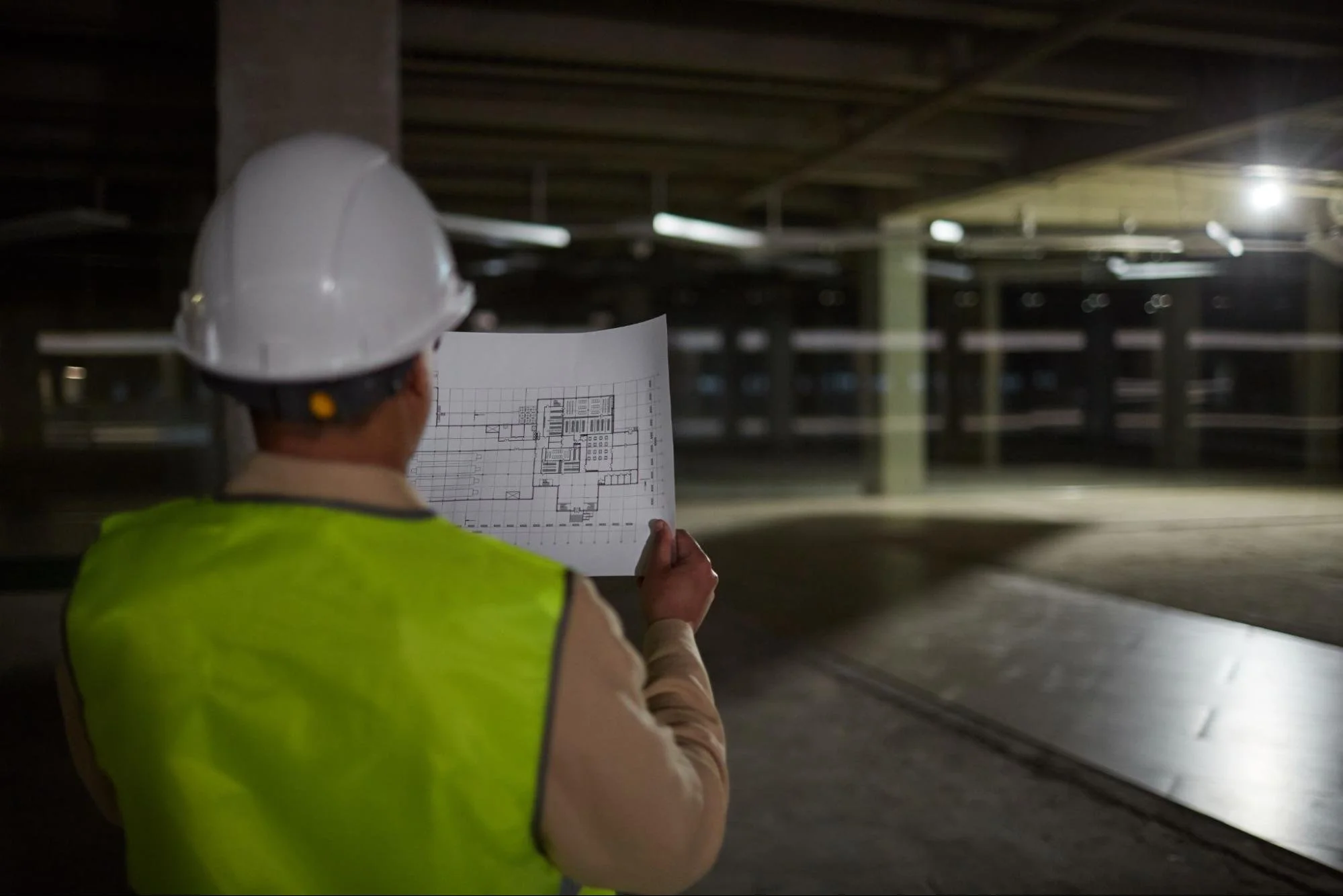
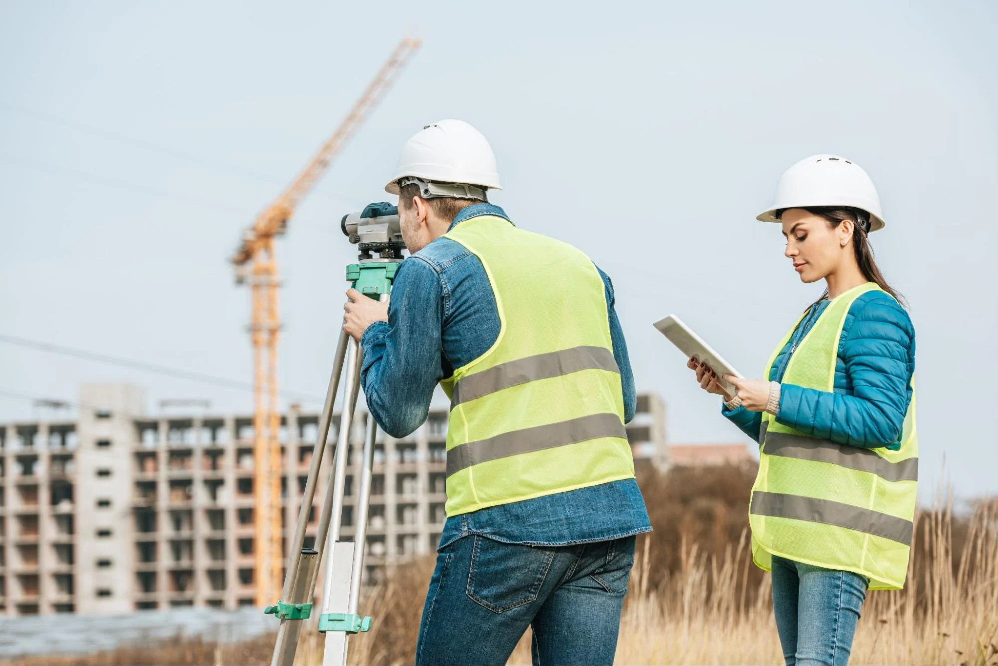
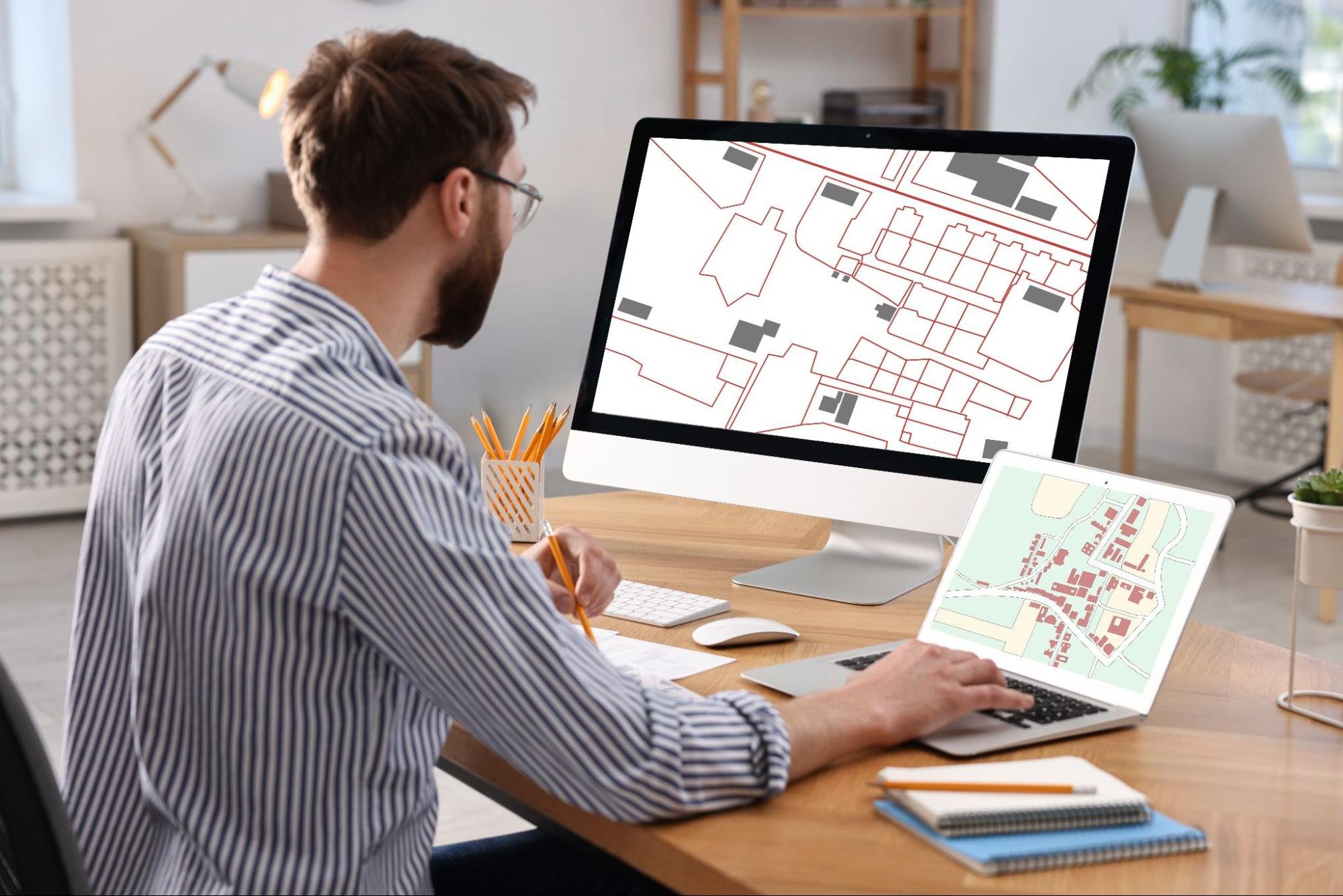
Historic building documentation combines several forms of information to create a complete picture of a property. Teams typically collect measured building surveys, photographs, architectural drawings, material records, and condition assessments. Modern projects may also include laser scanning data, digital models, and detailed floor plans. Each component contributes valuable information about the building's layout and construction. These records help professionals understand existing conditions without relying on assumptions. A well-documented property provides a stronger foundation for future planning and preservation decisions.
Why Accurate Records Matter
Many historic structures have experienced decades of alterations, repairs, and additions. Accurate documentation helps distinguish original features from later modifications. Project teams can identify important architectural elements before work begins. Property owners also gain confidence when evaluating maintenance priorities or development opportunities. Reliable records reduce uncertainty and support more effective decision-making. This level of accuracy becomes especially valuable when significant restoration work is under consideration.
Preserving Architectural Heritage Through Records
Historic structures often contain craftsmanship and design elements that cannot easily be recreated. Documentation captures these features before deterioration, environmental factors, or redevelopment activities affect them. Detailed records help preserve important information even if physical conditions change over time. As a result, documentation contributes directly to long-term heritage preservation efforts.
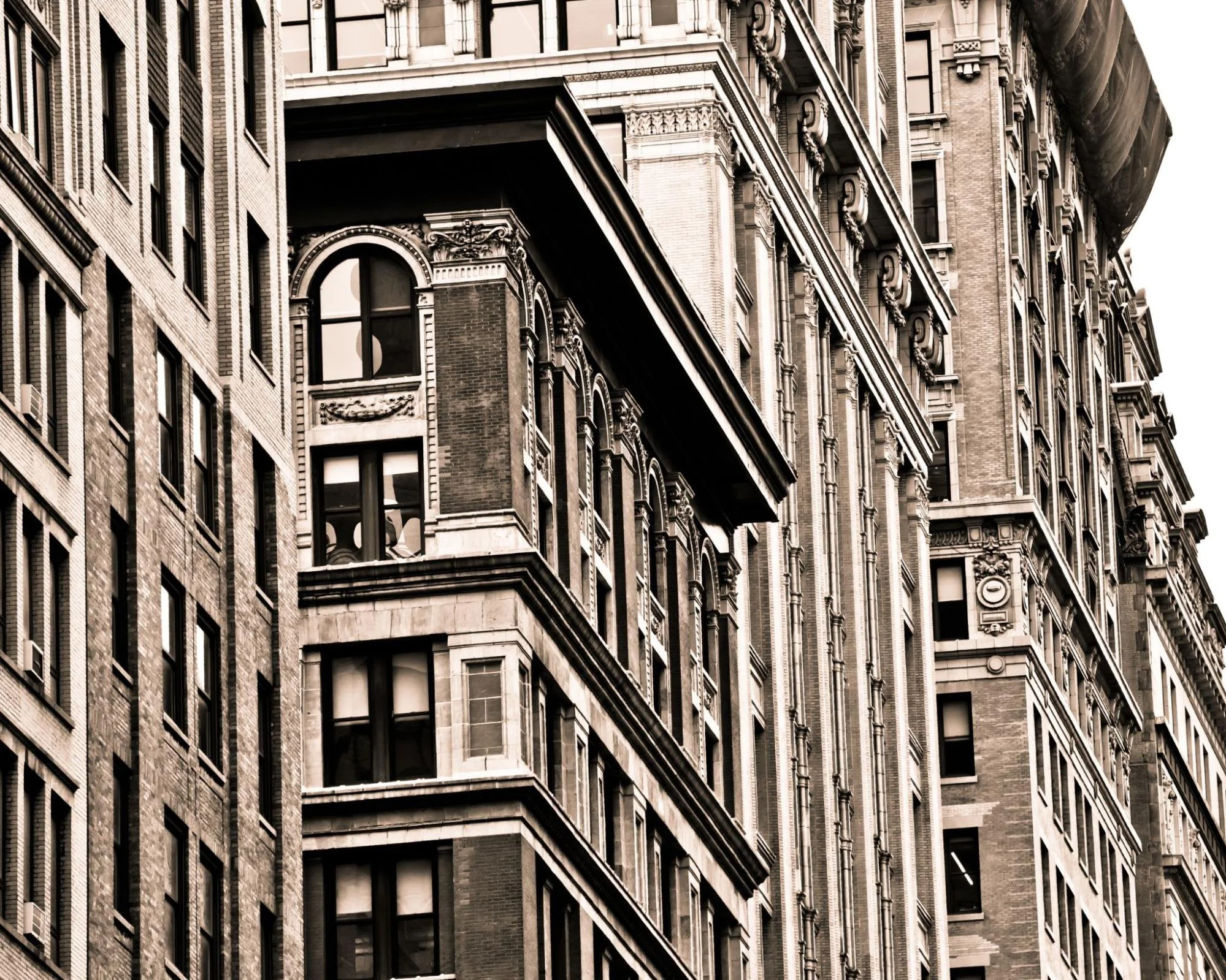
Protecting Original Building Features
Architectural details often define the historical character of a building. Decorative stonework, ornamental woodwork, intricate moldings, and custom finishes all contribute to a property's significance. Documentation records these features with precise measurements and visual references. Preservation teams can use this information when repairs become necessary. Detailed records also support restoration efforts when original elements suffer damage. This documentation preserves valuable knowledge that might otherwise disappear permanently.
Supporting Historical Research
Historic properties often provide insight into construction methods, architectural trends, and local development patterns. Researchers and preservation professionals rely on documented records to better understand these structures. Building documentation helps establish timelines for renovations and additions made throughout a property's history. These records can reveal how a building evolved. Accurate information strengthens preservation strategies and historical interpretations. The result is a more complete understanding of a property's significance.
Guiding Future Projects With Accurate Documentation
Historic properties often undergo restoration, conservation, or adaptive reuse throughout their lifespan. Every project benefits from a clear understanding of existing conditions before planning begins. Documentation provides reliable information that helps stakeholders evaluate opportunities, address challenges, and protect significant architectural features.

Restoration and Conservation Projects
Successful restoration projects begin with accurate information. Historic properties frequently present unique challenges that require careful planning before construction starts. Documentation helps project teams understand current conditions and identify potential concerns. This preparation supports better outcomes while reducing costly surprises later.
Improving Project Planning
Architects, engineers, and contractors need reliable data before developing restoration plans. Documentation provides precise measurements and existing-condition information that supports design development. Project teams can evaluate structural elements, spatial layouts, and architectural features more effectively. This information reduces the likelihood of revisions during construction. Better planning also improves project scheduling and budgeting. As a result, stakeholders can move forward with greater confidence.
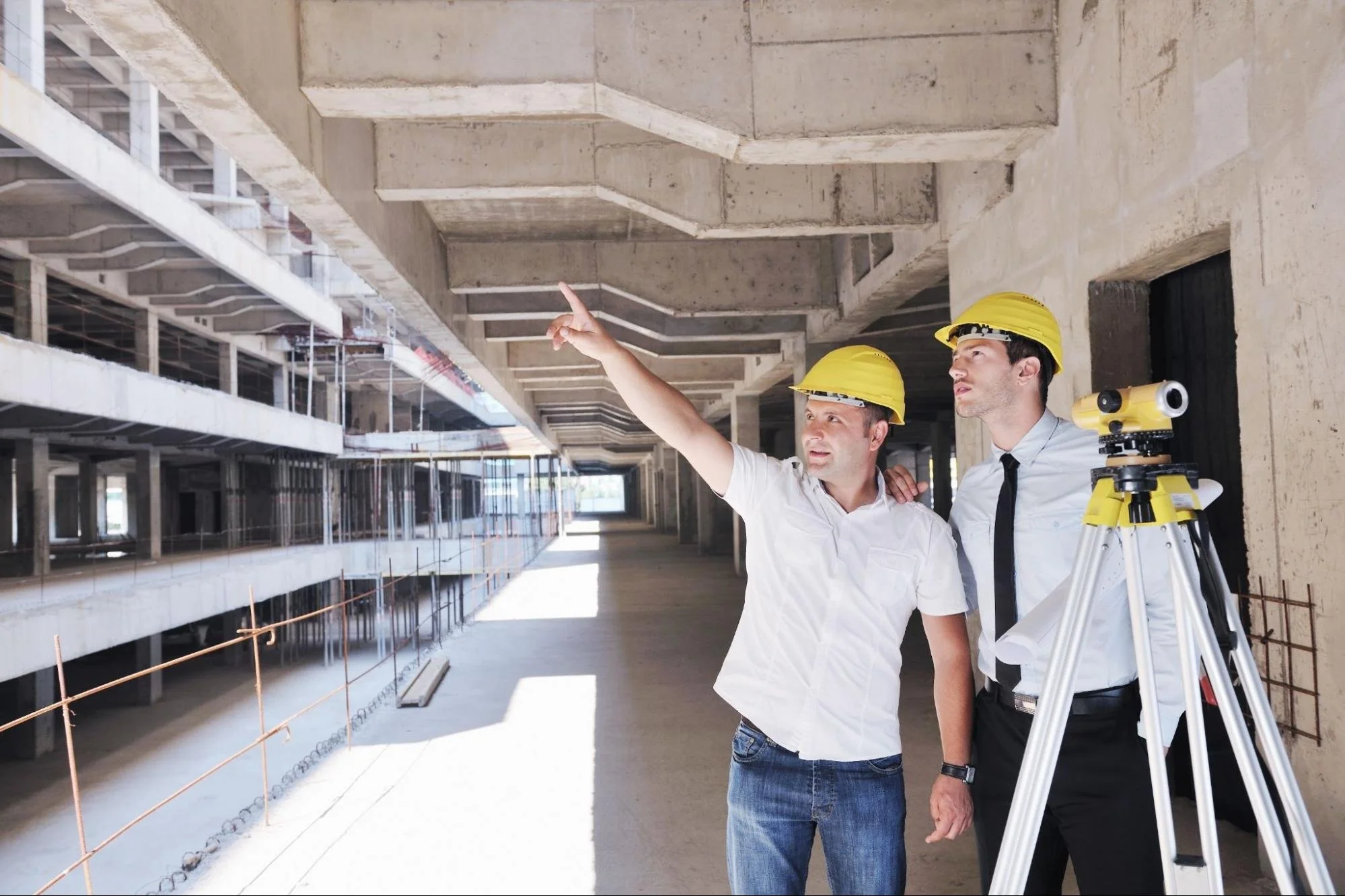
Reducing Risk During Construction
Historic buildings often contain fragile materials and hidden conditions that complicate construction activities. Documentation helps identify these areas before work begins. Teams can develop strategies that protect sensitive features while allowing improvements to proceed. Accurate records also improve communication between project stakeholders. Contractors gain a clearer understanding of site conditions and project requirements. This preparation helps reduce disruptions and avoid unnecessary damage.
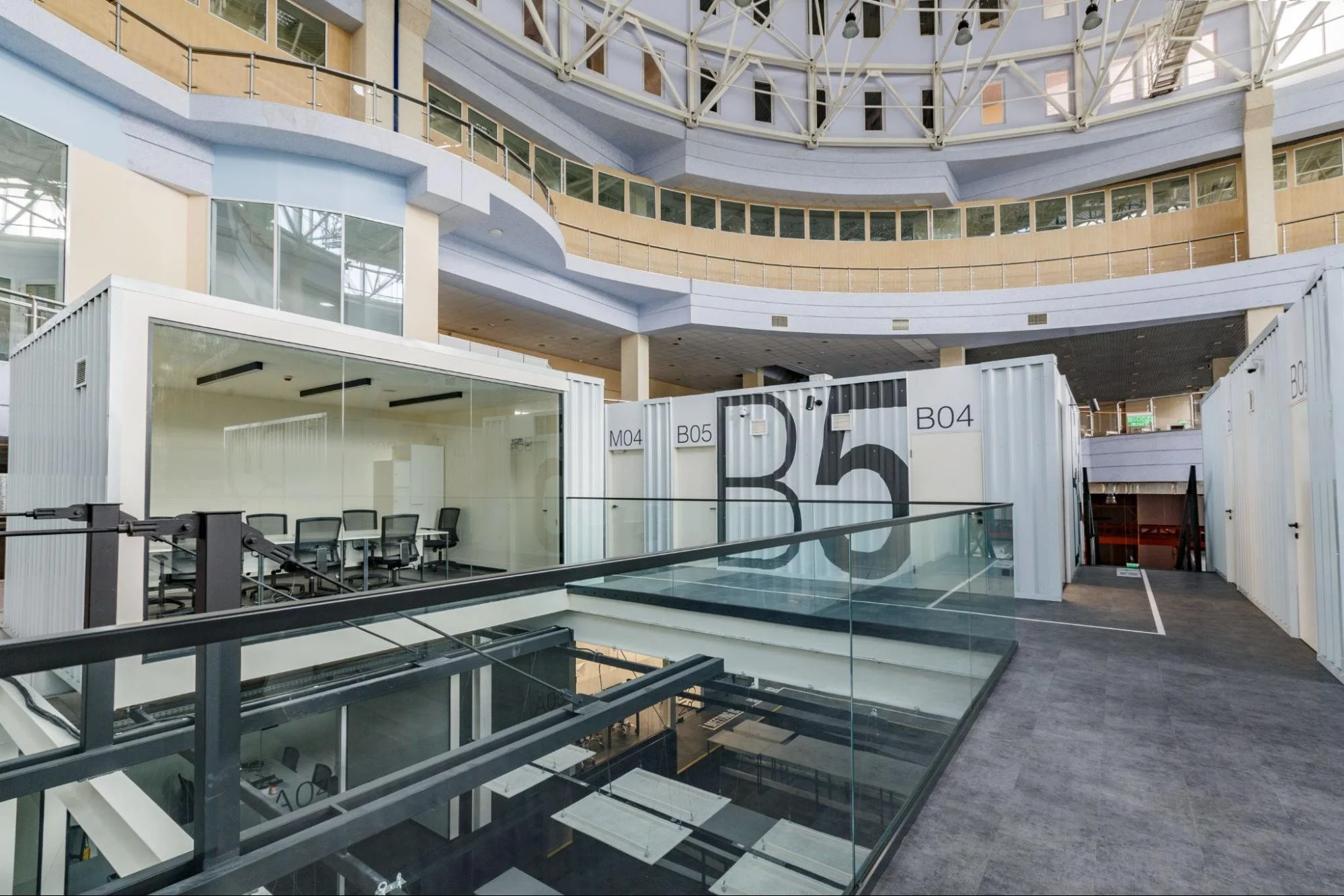
Adaptive Reuse Projects
Many historic properties continue to serve communities through adaptive reuse developments. Former schools, factories, churches, and civic buildings often find new purposes while retaining their historic character. Documentation provides the information needed to balance preservation goals with modern functionality. This process helps developers and property owners make informed decisions throughout redevelopment projects.
Evaluating Existing Conditions
Adaptive reuse projects require a clear understanding of a building's current condition. Documentation captures structural layouts, building systems, and architectural features before design work begins. Project teams can evaluate how existing spaces may support new uses. Accurate records help identify limitations as well as opportunities. This information reduces uncertainty during planning and feasibility studies. Developers can make more informed investment decisions as a result.
Balancing Preservation and Modern Needs
Historic properties often require upgrades to meet contemporary standards and operational requirements. Documentation helps project teams identify areas that should remain intact while accommodating necessary changes. Accurate records support thoughtful design decisions that respect a building's heritage value. Architects can reference existing conditions throughout the project lifecycle. This approach promotes responsible redevelopment while maintaining historical character. The result is a more balanced and sustainable outcome.
Preservation and Compliance Requirements
Historic properties often operate within preservation frameworks that require supporting documentation. Building records help property owners demonstrate existing conditions and justify proposed changes. Accurate information strengthens communication with regulatory agencies and project stakeholders. Documentation also supports a smoother approval process.

Preparing for Preservation Reviews
Many preservation authorities require detailed records before approving alterations to historic properties. Documentation creates a baseline that reviewers can evaluate against proposed plans. Property owners benefit from having organized information readily available. Accurate records help clarify the scope and impact of planned work. This preparation often improves project efficiency during the review process. Strong documentation can also support funding and grant applications.
Supporting Long-Term Compliance
Historic properties frequently undergo multiple projects throughout their lifespan. Documentation creates a consistent record that supports future reporting and compliance requirements. Property owners can reference previous surveys and building records when new projects arise. This information helps maintain continuity between project phases. Detailed archives reduce the need to recreate missing records later. Long-term documentation strengthens overall property management efforts.
Archives for Future Stewardship
Building archives preserves valuable information beyond the immediate needs of a project. Property owners and managers can reference these records whenever maintenance, preservation, or redevelopment activities occur. This approach supports responsible stewardship across generations.
Managing Information Over Time
Building records often become more valuable as properties continue to age. Documentation provides a centralized source of information that supports future decision-making. Teams can compare current conditions with earlier records to identify changes. This capability improves maintenance planning and condition monitoring. Organized archives also reduce the risk of information loss. Long-term accessibility strengthens preservation efforts and operational efficiency.
Supporting Knowledge Transfer
Personnel changes are common throughout the lifespan of a historic property. Documentation preserves critical building knowledge that might otherwise disappear. New project teams can quickly understand previous work and existing conditions. This continuity improves coordination among stakeholders. Accurate records reduce dependence on institutional memory alone. Organizations benefit from a more consistent approach to property management.
Modern Technology for Heritage Documentation
Documentation methods have advanced significantly over the past decade. Digital technologies now allow professionals to collect highly accurate information with minimal disruption to historic structures. These tools improve efficiency while creating more detailed records than traditional methods alone. As a result, building documentation has become more precise and accessible.
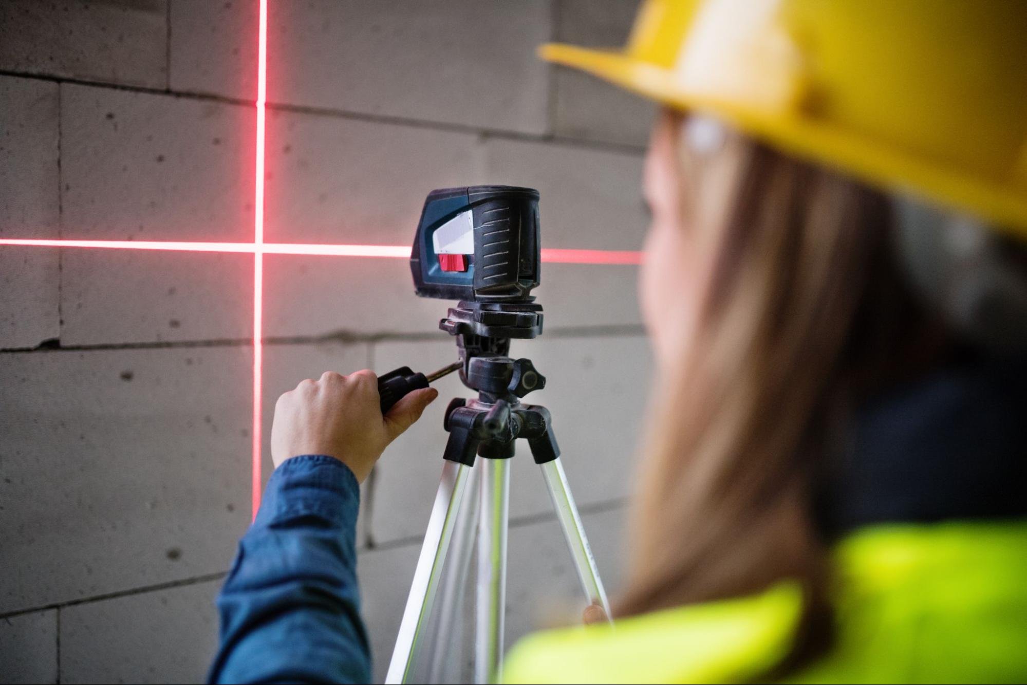
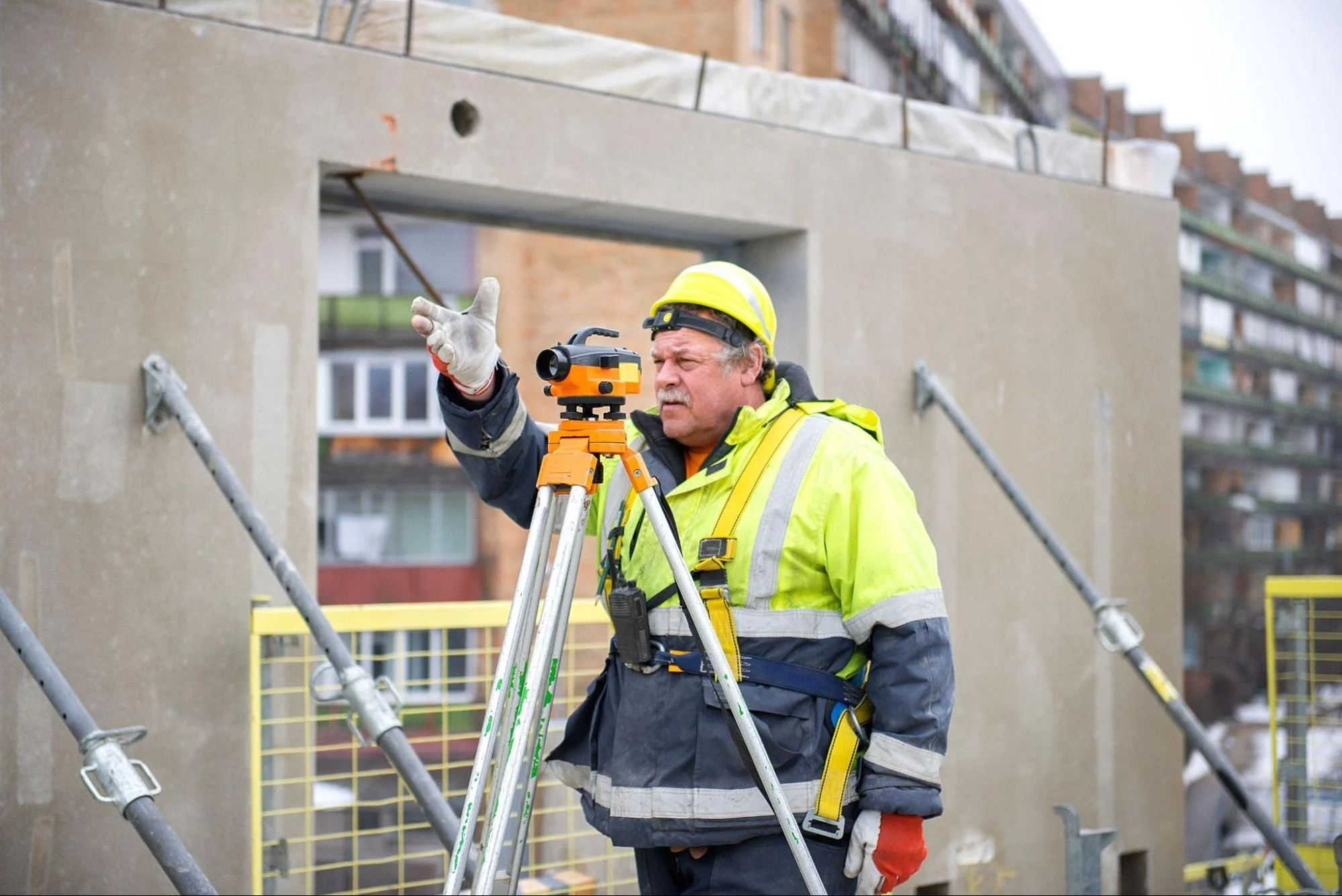
Using 3D Laser Scanning
3D laser scanning captures millions of measurement points across a building's surfaces. These data points create a highly accurate digital representation of the structure. Complex architectural details can be documented quickly and efficiently. Project teams can review measurements long after fieldwork concludes. The resulting information supports restoration planning, facility management, and conservation documentation. Laser scanning also reduces the need for repeated site visits.Applying Photogrammetry and Digital Imaging
Photogrammetry uses overlapping photographs to create measurable digital models. This technology captures visual details while providing valuable dimensional information. Historic facades, decorative elements, and difficult-to-access areas can be documented effectively. High-resolution imagery supports preservation planning and historical analysis. Digital models also provide context beyond what conventional photography can offer. These tools contribute to a more complete building record.
Deliverables Produced From Documentation
The value of documentation extends beyond data collection. Property owners and project teams receive practical deliverables that support planning, maintenance, and preservation activities. These outputs help stakeholders visualize and analyze building conditions more effectively. Documentation, therefore, becomes an ongoing resource rather than a one-time project.
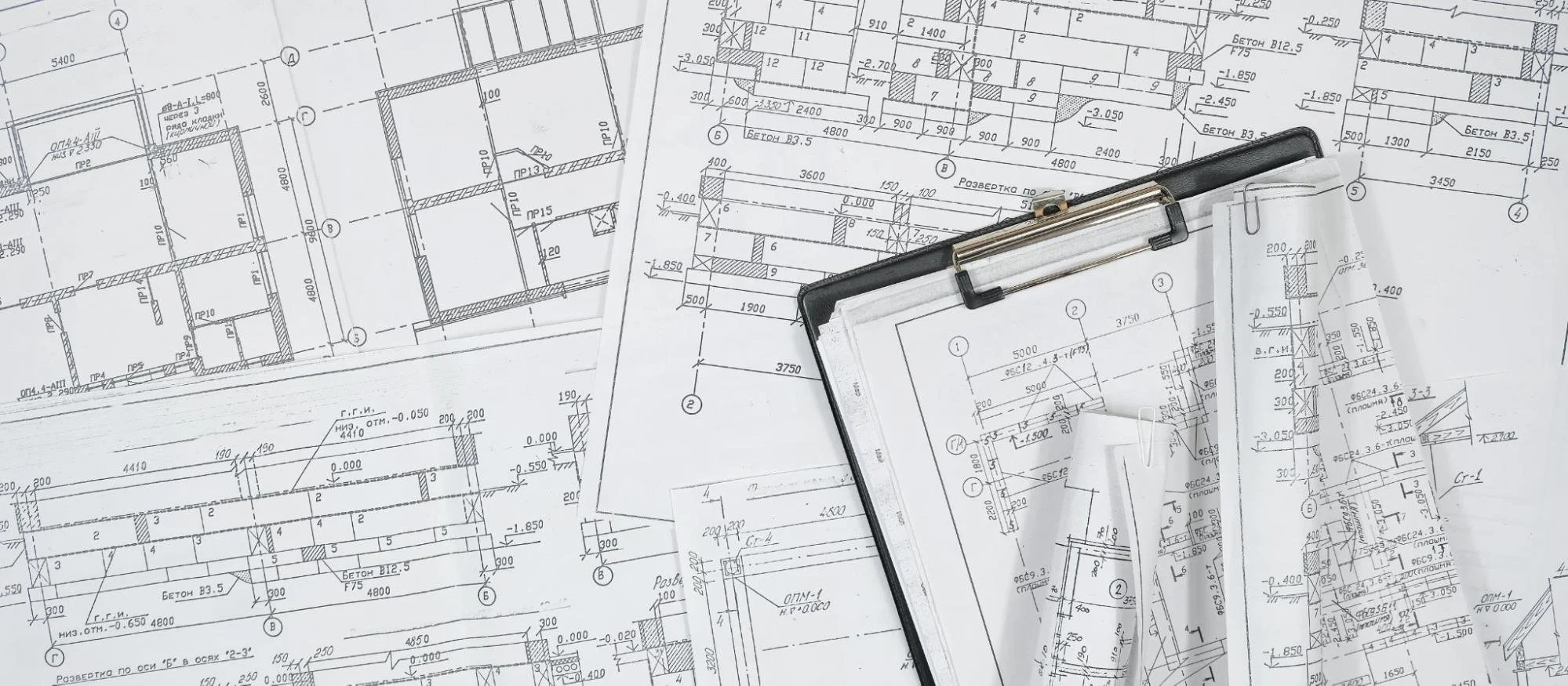
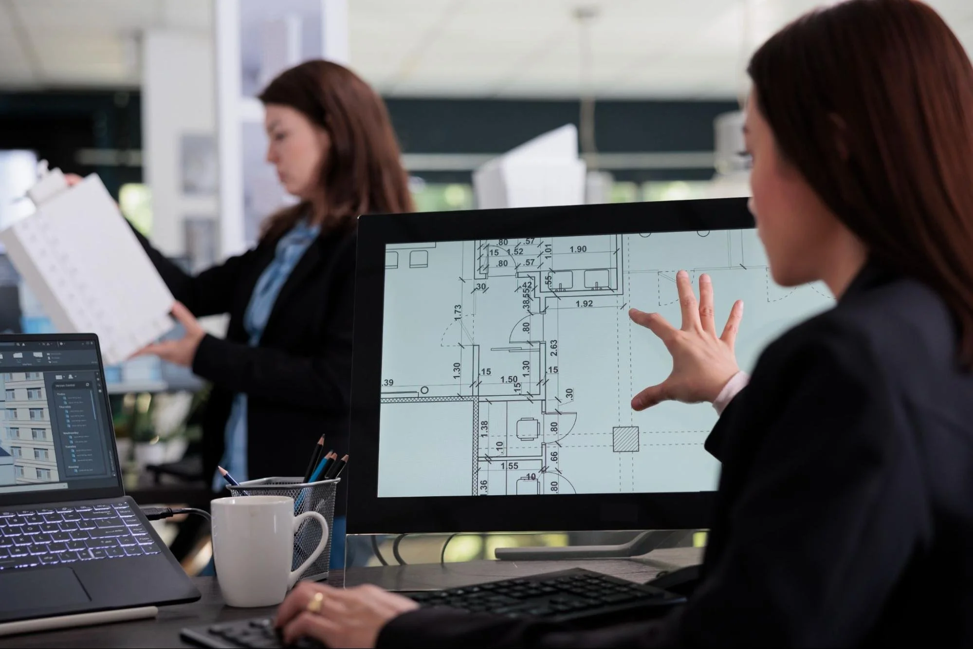
Measured Drawings and Floor Plans
Measured surveys often produce floor plans, elevations, sections, and site drawings. These documents provide accurate information about a building's dimensions and layout. Architects and engineers rely on them during restoration and renovation projects. Property managers also use them for operational planning and maintenance activities. Updated drawings reduce dependence on outdated records. This documentation improves accuracy across future projects.
3D Models and Digital Twins
Many documentation projects now include three-dimensional models and digital twins. These resources allow stakeholders to explore building conditions virtually. Teams can review architectural details and spatial relationships without returning to the site. Digital models support preservation planning, facility management, and future renovations. They also provide a valuable archive for long-term asset management. As technology advances, these deliverables continue gaining importance.
Preserve Value Through Historical Building Documentation
Every undocumented detail increases the risk of losing valuable building knowledge that cannot easily be recovered later. Documentation for historical buildings provides property owners, developers, and preservation teams with the accurate records needed to guide restoration, conservation, and adaptive reuse projects. Working with experienced measured building surveyors helps create reliable records that support informed decisions long into the future. Investing in documentation today helps protect a property's legacy while providing the information needed to manage change with confidence.
The value of a historic building extends beyond what is visible today. Discover more surveying insights, preservation strategies, and documentation solutions on the LNE Surveys blog.