Construction projects often change during active work. Contractors adjust layouts, utilities, and site features daily. Building owners need records that clearly document the final condition of the property. An as-built survey documents completed work using accurate field measurements. These records help owners manage repairs, upgrades, and future property plans.
Understanding an As-Built Survey
Construction drawings often change during active projects. Contractors respond to weather delays, soil conditions, material shortages, and code updates. Small field adjustments may seem harmless during construction. Later, those undocumented changes create confusion during maintenance or remodeling.
What an As-Built Survey Includes
An as-built survey documents the final conditions of a completed construction project. Surveyors record the actual placement of structures, utilities, grading, and property features. The survey compares completed work against original design plans and approved drawings. It captures modifications that occurred during construction activities. Building owners receive updated measurements and verified locations for permanent improvements. These records often include walls, parking areas, drainage systems, utility lines, and sidewalks. Surveyors may also note elevation changes, setbacks, and boundary relationships affecting the property.
Why Contractors and Owners Need This
Construction teams need accurate records after major projects finish. Building owners rely on those records during maintenance planning and future upgrades. Contractors use as-built documentation to confirm completed work against project requirements. Property managers also reference the survey before utility repairs or tenant improvements. Accurate surveys reduce confusion when multiple contractors later work on the same property. Insurance providers and lenders may request updated site documentation before approving certain transactions. Municipal agencies sometimes require as-built surveys before granting final project approvals.
Track Construction Changes Accurately
Construction plans often change unexpectedly during active building projects. Contractors may adjust layouts because of field conditions or utility conflicts. Accurate surveys document those changes before project details become difficult to verify. Building owners need reliable records that clearly show completed work across the property. These records help contractors avoid confusion during future maintenance or renovation projects. Accurate documentation also supports smoother communication later among owners, engineers, and contractors.
How As-Built Surveys Differ
As-built surveys serve purposes different from those of other surveying services. Property owners often confuse them with boundary or staking surveys. Each survey type supports different project stages and property needs. Understanding these differences helps owners confidently request proper surveying services.
Boundary Surveys vs As-Built Surveys
Boundary surveys clearly identify legal property lines and ownership limits. Surveyors carefully review deeds, plats, and public land records. An as-built survey focuses on completed structures and site improvements instead. These records accurately show the actual construction locations after project completion. Building owners often need both surveys during commercial development projects. Boundary surveys address ownership issues, while as-built surveys support operations planning.
Construction Staking Compared
Construction staking guides contractors before on-site installation begins. Surveyors accurately place markers showing approved locations for planned improvements. Contractors follow those markers while building structures and utility systems. An as-built survey is conducted after construction activities are complete. Surveyors measure actual improvement locations instead of planned project layouts. Building owners receive records showing completed conditions across the finished property.

Prevent Confusion During Future Projects
Many property owners confuse surveying services with construction planning. Incorrect survey requests often create delays and unnecessary project expenses afterward. As-built surveys focus on completed conditions rather than planned construction layouts. These records help contractors understand existing infrastructure before beginning additional work carefully. Building owners avoid project misunderstandings through accurate, well-organized property documentation. Clear survey records also support faster decisions during repairs and future renovations.
Why Accurate Records Matter
Accurate property records significantly reduce confusion during future building projects. Missing documentation often leads to delays, repair errors, and unexpected project costs. Building owners need reliable records before scheduling renovations or infrastructure repairs. As-built surveys provide clear property information for long-term operational planning.
Better Planning for Renovations
Renovation projects require accurate information about existing property conditions first. Contractors need verified measurements before opening walls or safely relocating utilities. Missing records force teams to investigate hidden conditions during construction work. These delays often quickly increase labor expenses and redesign costs. Architects also depend on reliable survey information during project planning stages. Building owners save time because contractors begin work with accurate property documentation.
Reducing Utility Damage Risks
Undocumented utility lines create major risks during excavation and repair projects. Contractors may accidentally damage electrical conduits, water systems, or communication infrastructure. Emergency repairs often disrupt tenants and quickly increase operational costs. Accurate as-built surveys document the completed utility locations across the property. Maintenance teams review these records before scheduling repair or upgrade projects. Building owners avoid unnecessary downtime through proper documentation and planning practices.
Features Found in These Surveys
Every property contains different construction details and infrastructure systems. Surveyors carefully adjust documentation to align with the project scope and the owner's requirements. Some surveys focus heavily on utilities, grading, and drainage systems. Others prioritize developing layouts, parking areas, and structural improvements across properties.
Building Layouts and Structures
Surveyors document completed buildings and permanent structural improvements accurately on-site. These records include walls, entrances, loading zones, and access points. Surveyors also carefully verify spacing between structures and property setback requirements. Finished floor elevations are often clearly shown in final survey documentation packages. Property managers use these records during maintenance scheduling and leasing discussions. Accurate layouts help contractors plan future upgrades without unnecessary project delays.
Utilities and Drainage Systems
Underground utilities often create challenges during future property improvement projects. Surveyors carefully identify visible utility features and available infrastructure information. These records include sewer systems, water lines, drainage structures, and conduits. Accurate drainage measurements help owners properly manage flooding and runoff concerns. Utility mapping also reduces uncertainty before excavation or landscaping projects begin. Building owners gain greater control over infrastructure through organized, reliable documentation.

Record Site Changes Over Time
Properties often change after renovations, utility upgrades, and expansion projects are completed. Accurate surveys help owners track those changes by carefully updating property documentation. Surveyors thoroughly record new structures, grading adjustments, and infrastructure modifications across sites. These records reduce confusion during future planning and maintenance activities. Building owners benefit from organized documentation that shows how properties have evolved. Updated records also support stronger project coordination between contractors and facility teams.
Steps in the Survey Process
The as-built survey process carefully combines field measurements with technical documentation. Surveyors follow established workflows to consistently produce accurate property records. Each project stage supports reliable measurements and clear final documentation results. Building owners benefit from dependable records that effectively support future operational decisions.
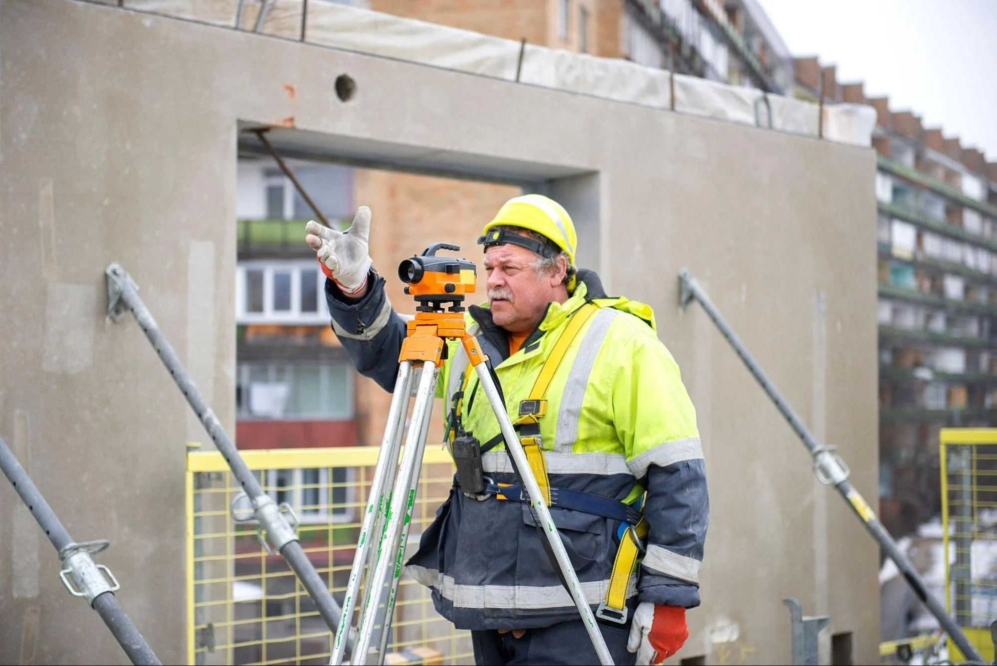
Site Visits and Measurements
Surveyors begin projects by reviewing available construction drawings and property records. They carefully inspect completed improvements and identify important site features. Modern equipment efficiently captures accurate horizontal and vertical measurements across properties. Survey crews thoroughly record structures, grading changes, pavement edges, and utilities. Some projects also use drones and laser-scanning technology to improve accuracy. Reliable field measurements create the foundation for accurate final survey documentation.
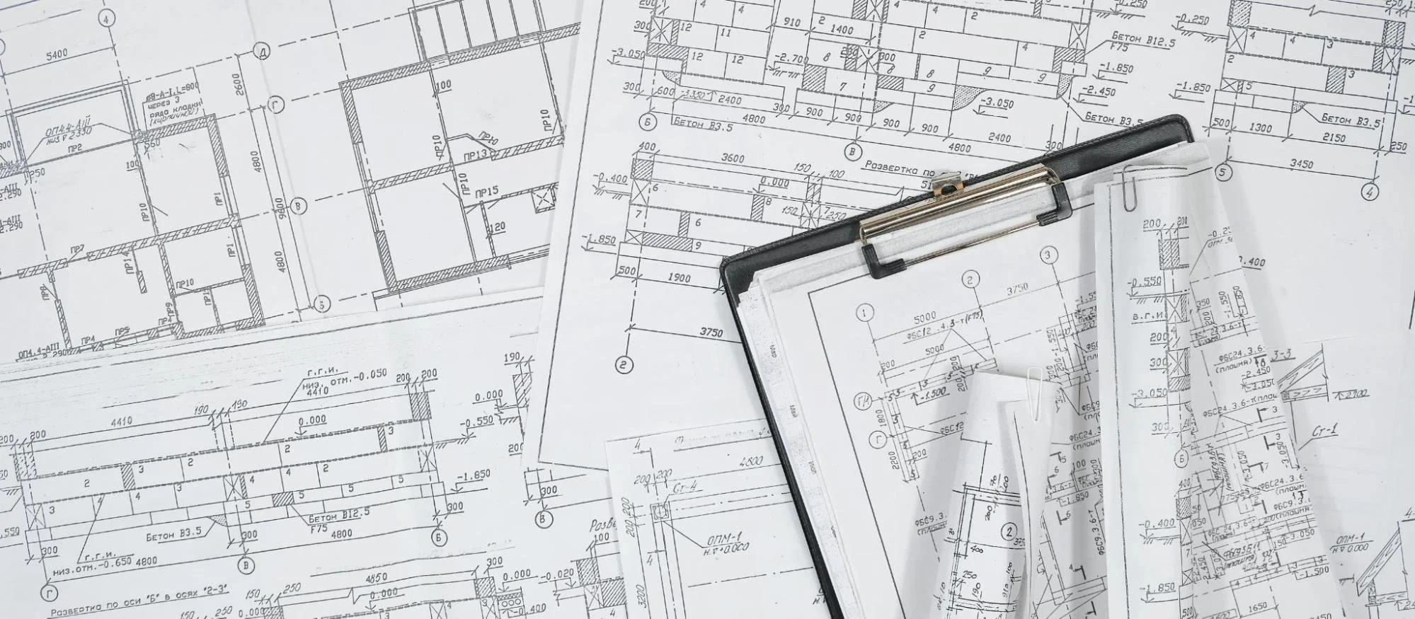
Drafting and Final Reports
Surveyors organize collected field data into technical drawings after site visits. They compare completed conditions against approved construction plans carefully afterward. Any project differences are documented clearly in the final survey package. Surveyors review calculations and measurements before professionally releasing completed records. Building owners usually receive digital drawings and supporting documentation after the project is completed. These records support maintenance planning, renovations, and future property development projects.
Modern Tools Used in Surveying Today
Modern surveying technology greatly improves speed, precision, and the quality of project documentation. Building owners now receive clearer records and detailed visual site information. Advanced equipment also effectively supports larger commercial and industrial property projects. These tools significantly reduce measurement errors and improve long-term record accuracy.
GPS and Robotic Equipment
Surveyors regularly rely on GPS systems and robotic instruments during fieldwork. These tools capture accurate measurements faster than traditional surveying methods previously allowed. Robotic equipment helps crews measure difficult areas more safely and efficiently. GPS technology improves positioning accuracy across large commercial properties consistently today. Digital tools also reduce human measurement mistakes during active survey projects. Building owners receive more reliable records to support future planning and maintenance work.
Laser Scanning and Drone Mapping
Laser scanning creates detailed three-dimensional property models by continuously measuring with precision. Surveyors use scanners to document large buildings and complex layouts accurately. Today, drone mapping efficiently captures rooftops, grading conditions, and outdoor areas. These technologies significantly reduce manual measurement time across large construction projects. Building owners receive clear visual documentation to support future renovation planning. Many surveying firms follow standards set by professional industry organizations to enhance credibility.
How Digital Records Support Smart Buildings
Modern buildings depend on accurate digital records for efficient daily operations today. Property teams use digital systems to manage repairs and building performance carefully. Missing information creates delays when teams later access outdated construction documents. Digital as-built surveys help owners organize property data more effectively over time.
Improve Facility Management With Digital Records
Digital survey records help owners manage properties using organized building information systems. Facility teams can easily access measurements, utility locations, and layouts from centralized platforms. These records support efficient maintenance scheduling and contractor coordination across larger properties. Property managers also reduce paperwork because digital files are easier to update. Accurate digital records regularly improve communication between maintenance teams and external vendors. Building owners gain faster access to reliable infrastructure information during active projects.
Support Smart Systems With Accurate Data
Smart building systems depend on accurate infrastructure data to perform reliably today. Automated controls continuously track lighting, utilities, energy use, and security systems. Incorrect records create problems during upgrades, repairs, and future technology installations. Accurate as-built surveys enable smoother integration with modern building management systems. Many commercial owners now connect survey data directly to facility management software. Organized digital records help buildings operate more efficiently over the long term.
Improve Building Oversight With As-Built Surveys
Property records affect every stage of long-term building management and planning. Missing details often delay repairs, upgrades, and tenant improvements. Professional surveying solutions provide accurate measurements that support safer, faster property decisions. An updated as-built survey helps owners manage buildings with better visibility and fewer costly surprises.
Strong property records start with reliable knowledge. Explore the LNE Surveys blog for helpful surveying solutions and industry updates.