A clear view of a site often determines how well decisions hold up over time. Ground-level visuals can miss relationships that matter during planning and evaluation. Overhead perspectives reveal scale, layout, and constraints in a way that supports confident interpretation. This broader visibility reduces uncertainty across teams and stakeholders. For professionals who rely on precision and defensible insight, aerial drone photography has become an essential visual tool.
What Aerial Drone Photography Provides for Site Work
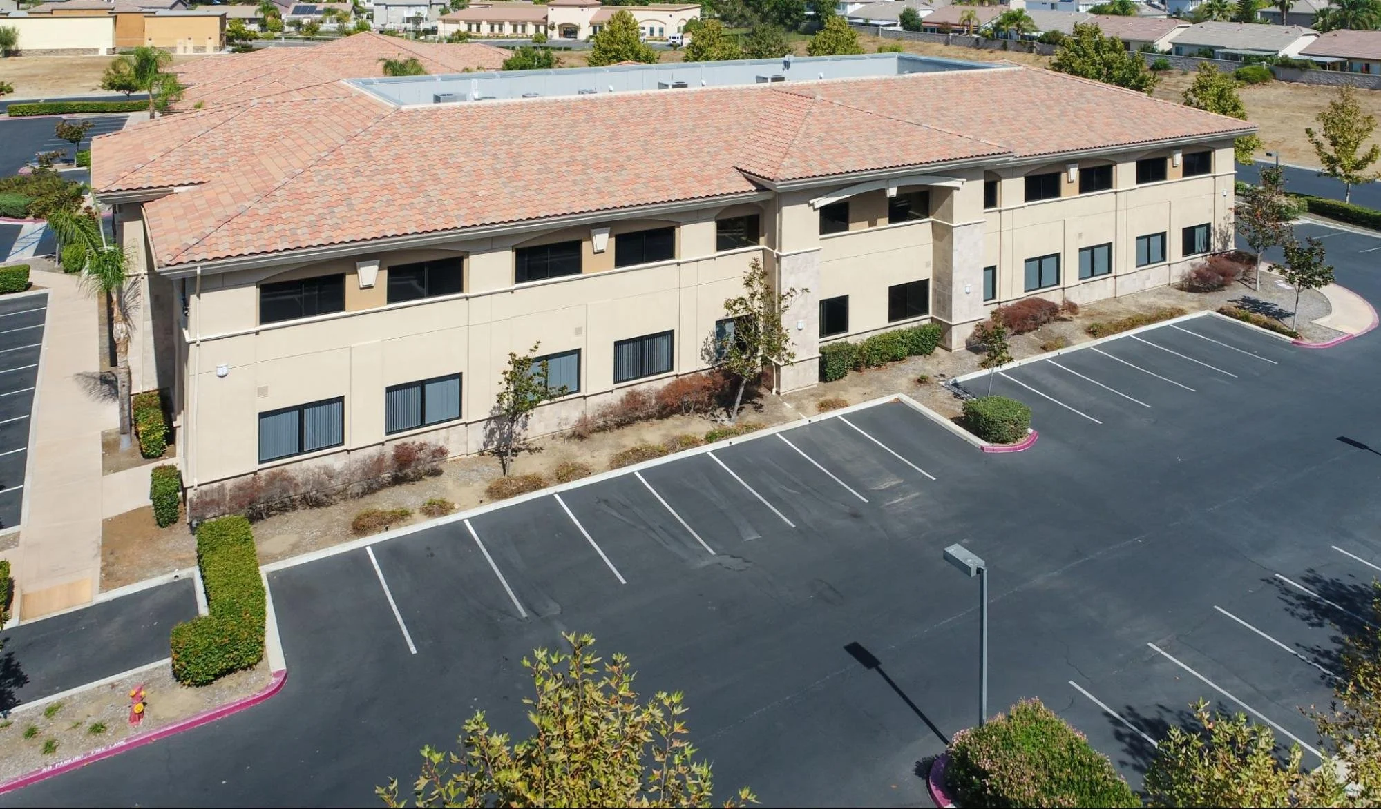
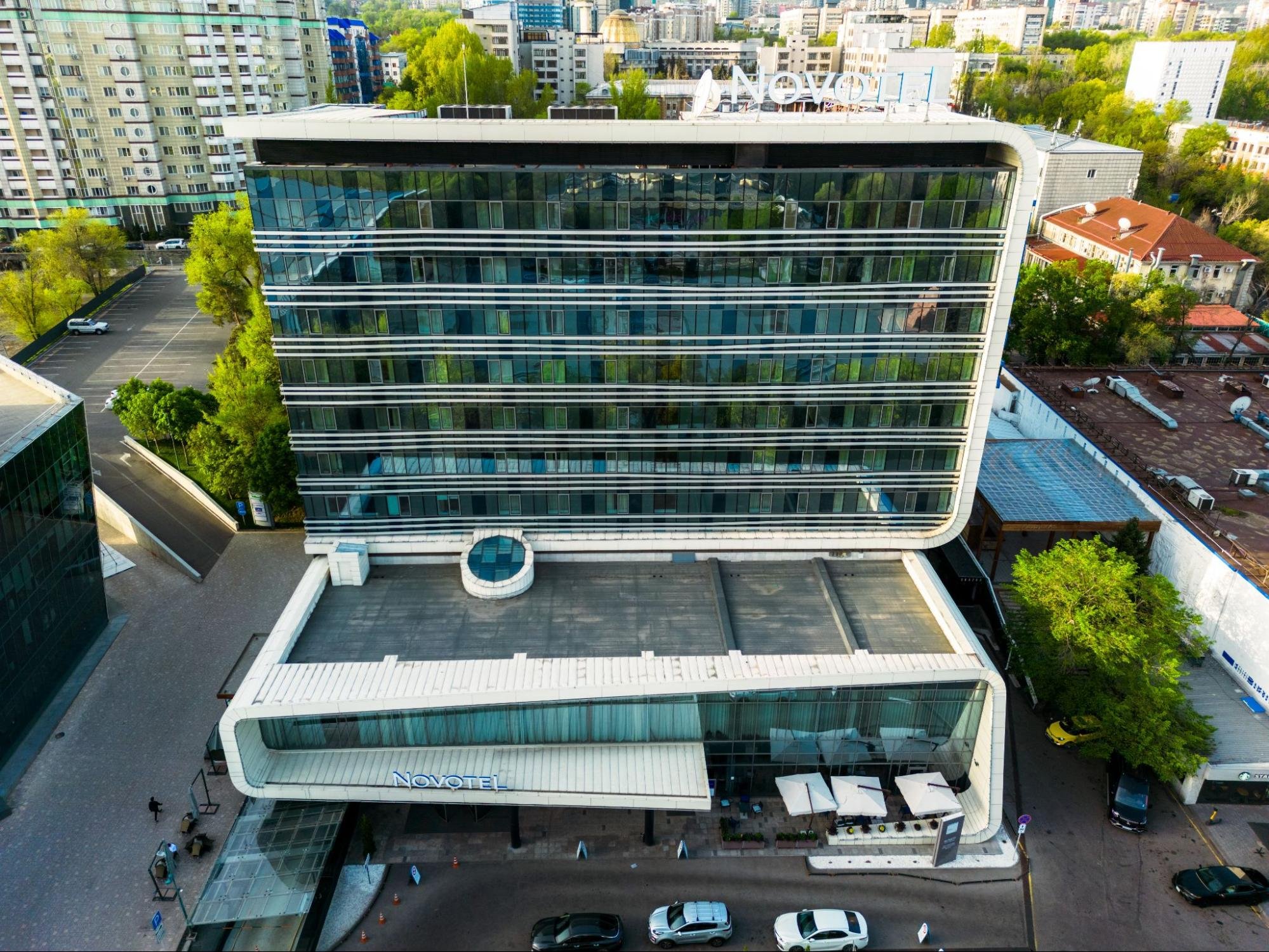
Aerial drone photography provides controlled overhead visuals captured with high spatial consistency. This visual method reveals terrain, boundaries, and structures in a single frame. Professionals use this perspective to accurately interpret scale and layout. The imagery supports reliable planning, review, and documentation.
Why Overhead Views Improve Spatial Accuracy
Overhead views reduce distortion caused by uneven terrain and visual obstructions. This perspective presents features that are consistently aligned across the site. Professionals reference imagery to confirm measurements and relative positioning. Clear orientation supports accurate interpretation during analysis. Errors decrease when context remains visible. Accuracy improves without extending field time.
How Visual Context Strengthens Data Interpretation
Spatial interpretation depends on understanding how features relate to one another. Aerial imagery shows connections between land features, access points, and built elements. This context reduces ambiguity during technical review. Professionals interpret layouts with greater confidence. Visual clarity supports defensible conclusions. Clients also understand findings more easily.
Practical Uses of Aerial Drone Photography
Aerial drone photography adapts well to varied site conditions and project scopes. The technology supports documentation, analysis, and communication tasks efficiently. Professionals gain flexibility without compromising precision. This adaptability increases overall project efficiency.
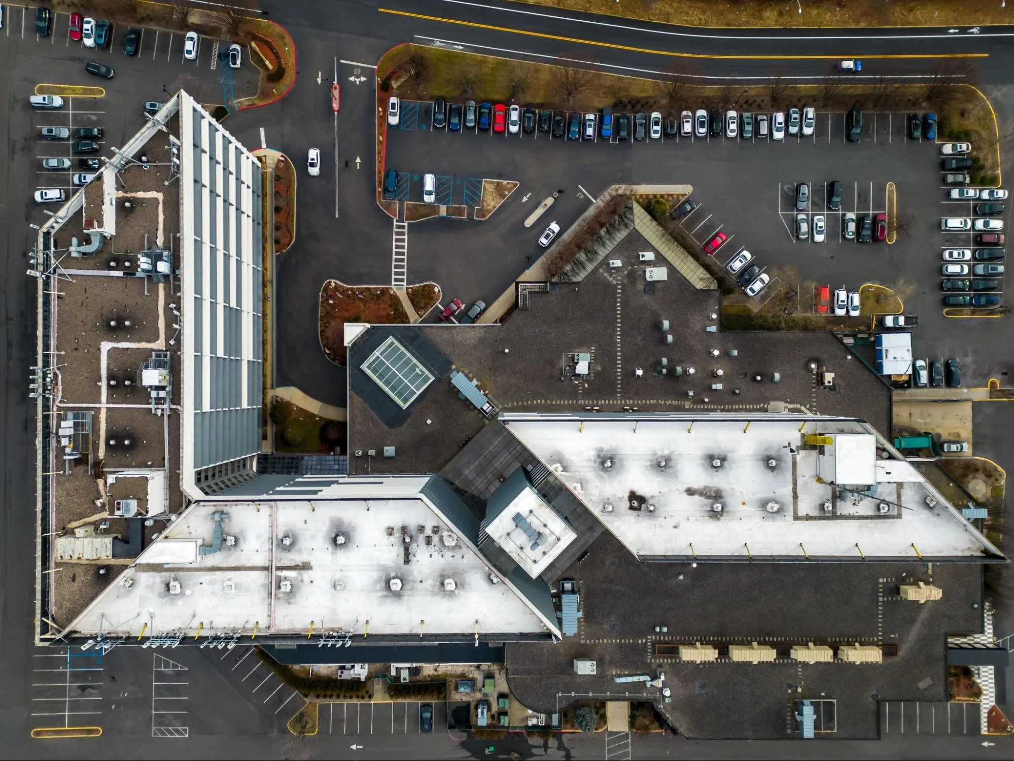
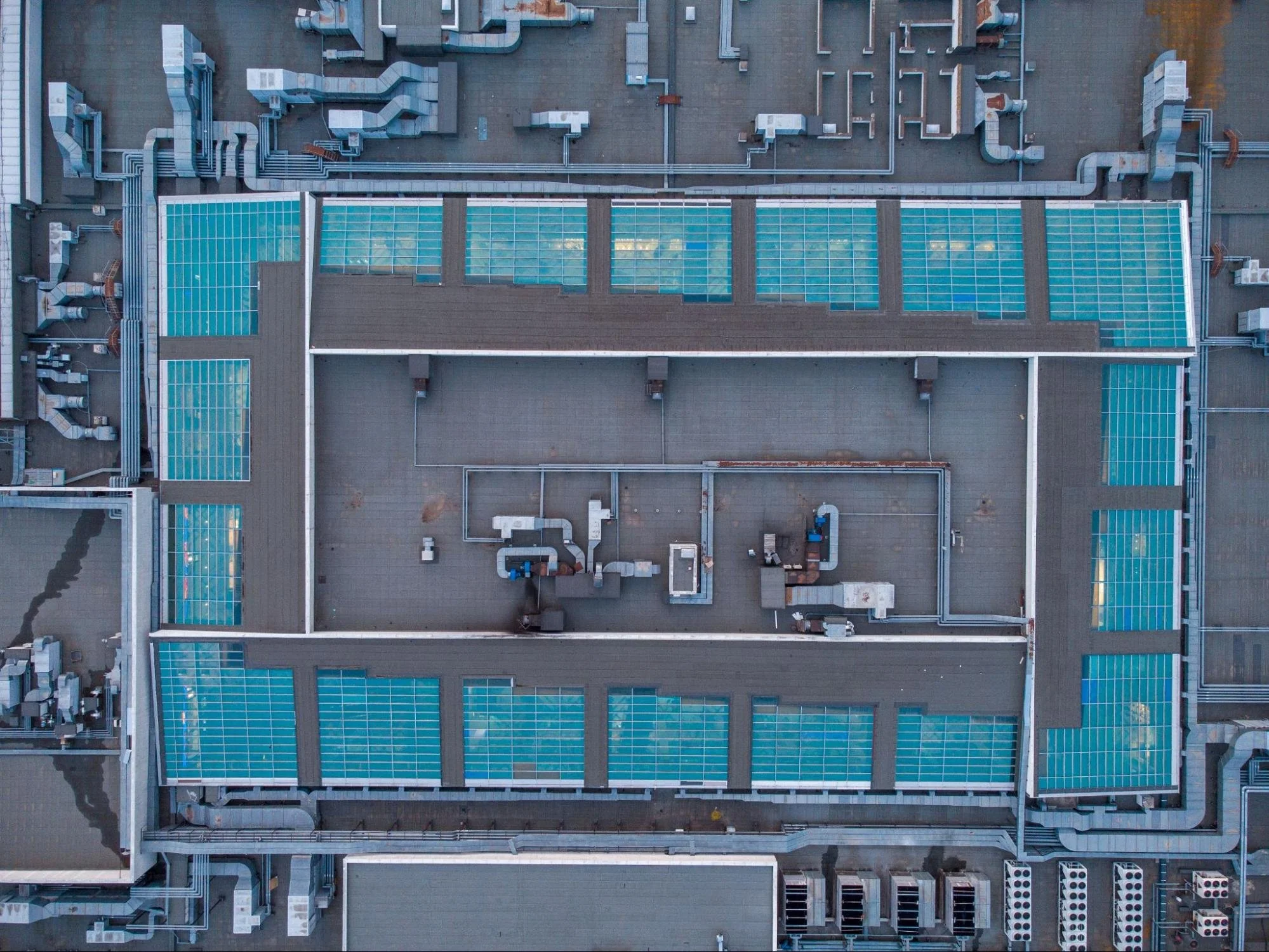
Terrain and Surface Analysis From Above
Terrain analysis requires clear visibility of slopes and surface variation. Aerial imagery captures elevation changes and grading patterns comprehensively. Professionals visually identify drainage paths and surface inconsistencies. This coverage reduces reliance on repeated ground access. Safety improves while accuracy remains intact. Data interpretation becomes more efficient.
Boundary and Area Visualization
Clear visualization helps define site extents accurately. Aerial imagery clearly outlines boundaries and adjacent features. Professionals cross-reference visuals with measurement data. This process reduces misinterpretation during review. Visual confirmation supports consistency across deliverables. Communication improves through shared reference points.
Ongoing Site Monitoring and Documentation
Sites evolve throughout project lifecycles. Aerial visuals document changes consistently over time. Professionals track progress without interrupting operations. Visual records support planning and verification needs. Stakeholders receive clear updates. Documentation remains reliable and repeatable.
Why Aerial Drone Photography Delivers Clear Advantages
Aerial drone photography offers practical benefits that extend beyond visual appeal. Overhead perspectives improve understanding of land, structures, and conditions. This clarity supports better judgment during planning and evaluation. The following points illustrate how these advantages shape accuracy, efficiency, and dependable outcomes.
Efficiency in Field Operations
Field efficiency directly affects timelines and budgets. Aerial drone photography reduces on-site time. Larger areas are captured quickly with consistent detail. Efficiency improves without sacrificing accuracy.
Reduced Time Spent in Difficult Terrain
Challenging terrain often slows traditional site work. Drones capture imagery without physical traversal. Professionals avoid unnecessary exposure to hazards. Field time decreases significantly. Teams focus more on analysis than access. Productivity improves across projects.
Faster Data Collection and Review
Drone flights capture extensive visual data rapidly. Processing tools efficiently convert imagery into usable outputs. Review cycles shorten as clarity improves. Faster turnaround supports tighter schedules. Clients receive results sooner. Timely delivery strengthens trust.
Improved Workflow Coordination
Visual data supports smoother coordination across teams. Shared imagery reduces back-and-forth clarification. Professionals align faster during reviews. Decisions rely on clear references. Workflow interruptions decrease. Project momentum improves.
Visual Continuity Across Project Lifecycles
Visual continuity means maintaining consistent visual references throughout the project. Aerial drone photography supports this continuity through repeatable perspectives. This consistency prevents gaps between early and later interpretations. Projects benefit when visual context remains stable over time.
How Consistent Views Reduce Interpretation Drift
Interpretation drift occurs when reference points change between phases. Repeated aerial perspectives maintain orientation and scale. Teams compare conditions accurately over time. This consistency prevents misalignment during transitions. Decisions remain anchored to the same visual baseline. Continuity reduces confusion naturally.
Supporting Handoffs Between Teams and Stakeholders
Projects often involve multiple teams over time. Aerial imagery provides a common visual language. New stakeholders understand conditions quickly. This shared reference reduces onboarding friction. Communication improves without lengthy explanations. Collaboration remains efficient and aligned.
Improved Safety Through Aerial Imaging
Safety remains a constant concern during site-based work. Aerial imagery reduces direct exposure to physical risks. Professionals maintain distance from unstable or restricted areas. This approach improves operational safety.
Minimizing Exposure to Hazardous Conditions
Steep slopes, traffic zones, and unstable surfaces present risks. Drones capture imagery without putting personnel at risk. Data quality remains high despite reduced access. Safety incidents decrease as exposure drops. Risk management improves naturally. Operations remain controlled.
Safer Access to Restricted or Inaccessible Areas
Some locations limit safe physical entry. Aerial imagery provides access without disruption. Professionals gather necessary data remotely. Compliance improves through controlled access. Safety planning becomes more effective. Coverage remains complete.
Cost Control Through Visual Efficiency
Cost management depends on reducing repeat effort. Aerial drone photography limits unnecessary site visits. Visual data remains reusable across project stages. These efficiencies support predictable budgeting.
Lower Long-Term Operational Costs
Traditional workflows often require repeated field checks. Aerial imagery reduces return trips. Professionals reuse captured visuals during analysis and reporting. Operational costs stabilize over time. Budget forecasting becomes more accurate. Financial efficiency supports sustainability.
Reduced Rework and Clarification Time
Clear visuals reduce misunderstandings. Professionals spend less time clarifying conditions. Rework decreases as interpretation improves. Teams resolve questions visually. Project costs remain controlled. Efficiency improves naturally.
Reliability and Documentation Confidence
Reliable documentation supports accountability and review. Aerial imagery provides consistent visual records. These records strengthen verification processes. Professional credibility improves through transparency.
Visual Records Support Verification Needs
Overhead images serve as permanent references. Professionals validate findings against imagery. Disputes are resolved more efficiently with visual evidence. Documentation supports audits and reviews. Clients trust clearly supported results. Confidence grows through transparency.
Consistent Documentation Across Project Phases
Consistency matters across project timelines. Aerial visuals maintain uniform reference points. Professionals compare changes accurately. Historical records remain accessible. Review processes improve. Documentation quality stays high.
Visual Accountability in Technical Decision-Making
Visual accountability refers to the ability to support decisions with clear, traceable imagery. Aerial drone photography provides a shared visual reference that teams can revisit over time. This accountability reduces reliance on memory or interpretation alone. Decisions grounded in visual evidence hold up better during reviews.
Why Visual Records Strengthen Decision Confidence
Visual records give professionals confidence because conditions are visible rather than assumed. This clarity reduces hesitation during approvals or sign-offs. Teams align faster when everyone sees the same reference point. Decisions feel defensible because imagery accurately documents conditions. Accountability improves when visuals directly support conclusions. Confidence increases without requiring additional explanation.
How Visual Evidence Supports Internal Review
Internal reviews often revisit earlier assumptions and judgments. Aerial imagery allows reviewers to confirm context without revisiting the site. This visual reference significantly shortens review cycles. Disagreements resolve faster when imagery replaces interpretation. Teams spend less time debating conditions. Outcomes remain grounded in documented reality.
Why Professionals Rely on Aerial Drone Photography
Modern site-focused work demands accuracy, efficiency, and clarity. Aerial drone photography supports all three without added complexity. Visual data strengthens communication across teams. Professionals gain reliable insights with less disruption.
Stronger Positioning Through Technical Capability
Clients expect precise and efficient site evaluation. Aerial imagery demonstrates technical competence visually. Professionals appear prepared and methodical. Deliverables become easier to understand. Confidence builds through clear presentation. Reputation strengthens through consistency.
Clear Communication With Stakeholders
Stakeholders prefer clarity over explanation. Visual references simplify discussions. Meetings become more productive. Misinterpretation decreases. Alignment improves across parties. Trust builds naturally.
Consistent Visual Standards Across Deliverables
Professionals rely on consistent visual standards to maintain clarity across outputs. Aerial drone photography provides consistent perspectives, reducing variation across deliverables. This consistency makes comparisons easier over time. Teams reference the same visual framework during reviews and updates. Misalignment decreases when visuals adhere to established standards. Professional outputs remain clear and defensible.
Perception Risk From Incomplete Visual Coverage
Perception risk arises when decisions rely on partial or unclear visuals. Limited visibility increases assumptions and misinterpretations. Aerial drone photography reduces this risk by showing the full context. Clear visuals support accurate understanding before decisions are made.
How Limited Visibility Leads to Costly Assumptions
Partial views often force professionals to infer missing details. These assumptions increase the chance of error—misjudgments compound as projects progress. Aerial imagery reduces guesswork by clearly revealing conditions. Decisions become more informed. Risk decreases through visibility.
Visual Clarity as a Trust-Building Mechanism
Clear visuals influence how others perceive work. Stakeholders trust conclusions they can see. Transparency improves when conditions are visible. Confidence grows without persuasion. Visual clarity strengthens professional credibility. Trust becomes a byproduct of openness.
Integrate Aerial Drone Photography Into Site Strategy
Aerial drone photography provides the clarity needed to align planning, evaluation, and execution with real conditions. When teams rely on complete visual context, decisions become easier to justify and communicate. This approach reduces uncertainty across workflows while improving consistency and accountability. Integrating aerial imaging into site strategy supports stronger outcomes built on visible, verifiable information.
See how modern site evaluation approaches are shaping better outcomes on the LNE Surveys blog.