
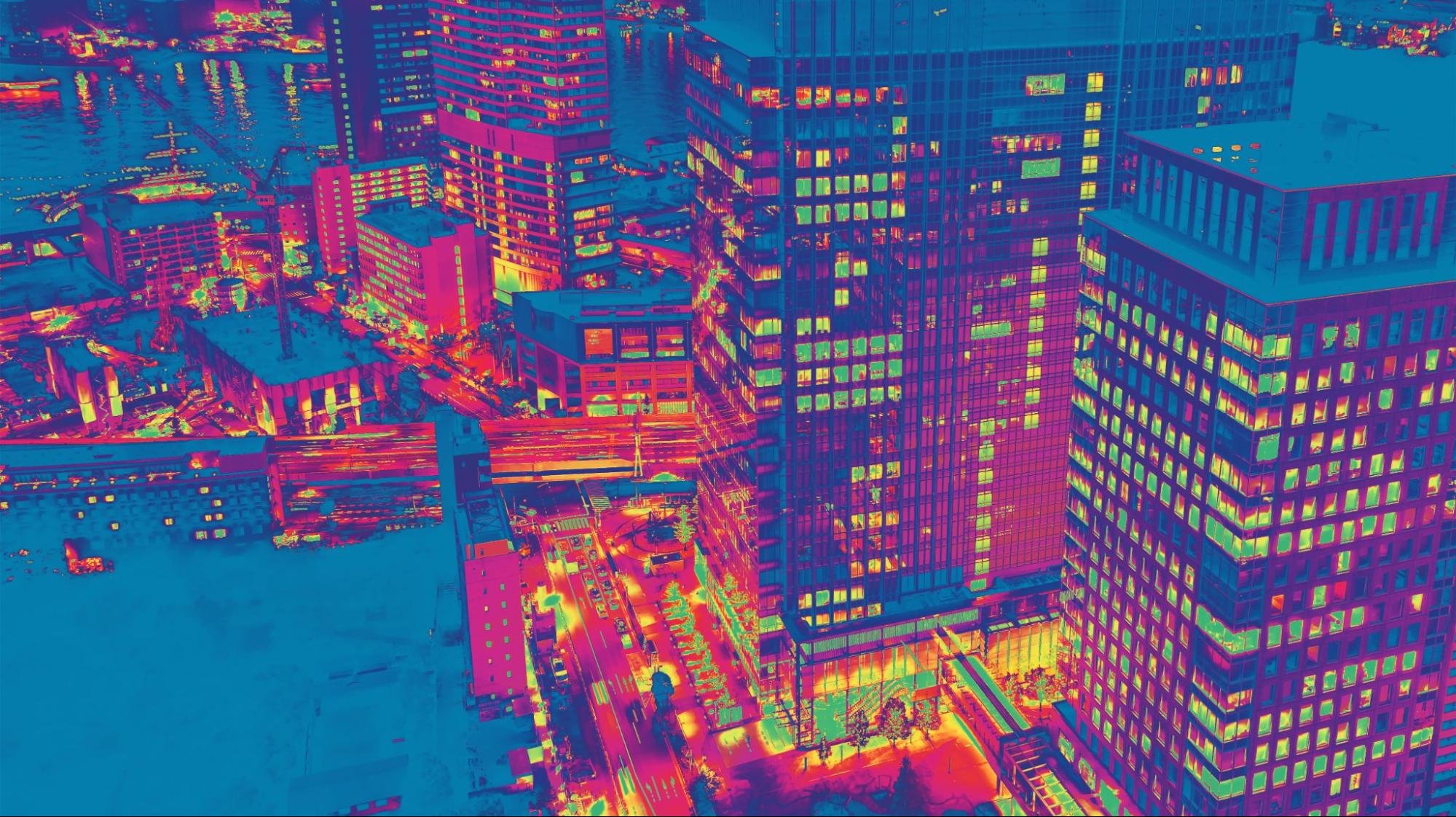
Businesses often need accurate information about buildings, sites, equipment, and other physical environments. Traditional measurements can provide answers, but complex spaces often require more detailed spatial data. Three-dimensional scanning captures millions of measured points that represent surfaces, objects, and surrounding conditions. Companies can use that information to plan projects, document assets, and reduce costly fieldwork. Understanding these applications helps decision-makers choose better methods for surveying, design, construction, and asset management.
What is Point Cloud Data?
A point cloud is a digital collection of coordinates representing objects or physical environments. Each measured point has a position based on X, Y, and Z coordinates. Some datasets also contain color, intensity, classification, or other descriptive information. These measurements create detailed spatial records that support many business and technical workflows.
How 3D Point Data Represents Real Spaces
A three-dimensional dataset records the visible surfaces captured during scanning. Millions of individual measurements can describe walls, floors, equipment, terrain, pipes, and structural components. Together, these points create a measurable digital representation of the scanned environment. Users can rotate the dataset and examine areas from many viewing angles. They can also measure distances, elevations, clearances, and dimensions within suitable processing software. This spatial detail gives project teams reliable information without repeatedly returning to the physical location.
How Laser Scanners Capture Measurements
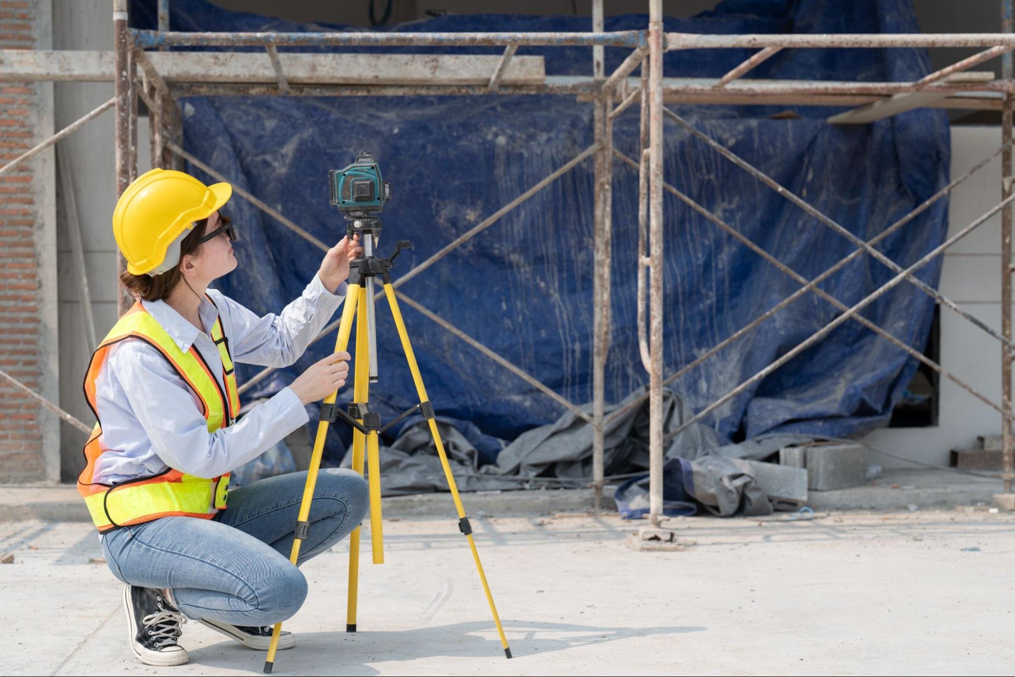
Laser scanners measure surfaces by sending laser pulses toward objects within their scanning range. The equipment calculates distance using information gathered from the returning laser signal. Repeated measurements create dense collections of coordinates across visible surfaces. Modern terrestrial scanners can capture complex environments from several positions around a site. Technicians register those scans together to create one coordinated digital dataset. This scanning process can document existing conditions much faster than many manual measurement methods.
How Photogrammetry Creates Spatial Data
Photogrammetry creates three-dimensional information from overlapping photographs captured from different positions. Specialized software identifies matching features across images and calculates their positions in space. Cameras mounted on drones can collect imagery across large properties or difficult terrain. Ground-based cameras can also document buildings, infrastructure, and smaller objects up close. The resulting dataset can support mapping, measurements, surface models, and visual documentation. Photogrammetry gives businesses another practical collection method when project conditions support image-based surveying.
How Businesses Use Point Cloud Surveys
Companies use scanning data when accurate existing-condition information can improve planning or execution. The technology supports projects where manual measurements could become slow, incomplete, or difficult to coordinate. Teams can capture detailed conditions before making major design, construction, or operational decisions. Several industries now incorporate spatial scanning into everyday project workflows.
Documenting Existing Site Conditions
Existing-condition documentation gives project teams a detailed record before work begins. Surveyors can scan buildings, facilities, roads, landscapes, and other environments requiring accurate spatial information. The resulting dataset records visible conditions during the specific collection period. Designers can inspect dimensions and relationships without relying entirely on handwritten field measurements. Project managers also gain a reference when questions arise during later project stages. Accurate documentation can reduce unnecessary site visits while improving confidence in available project information.
Supporting Building Renovation Projects
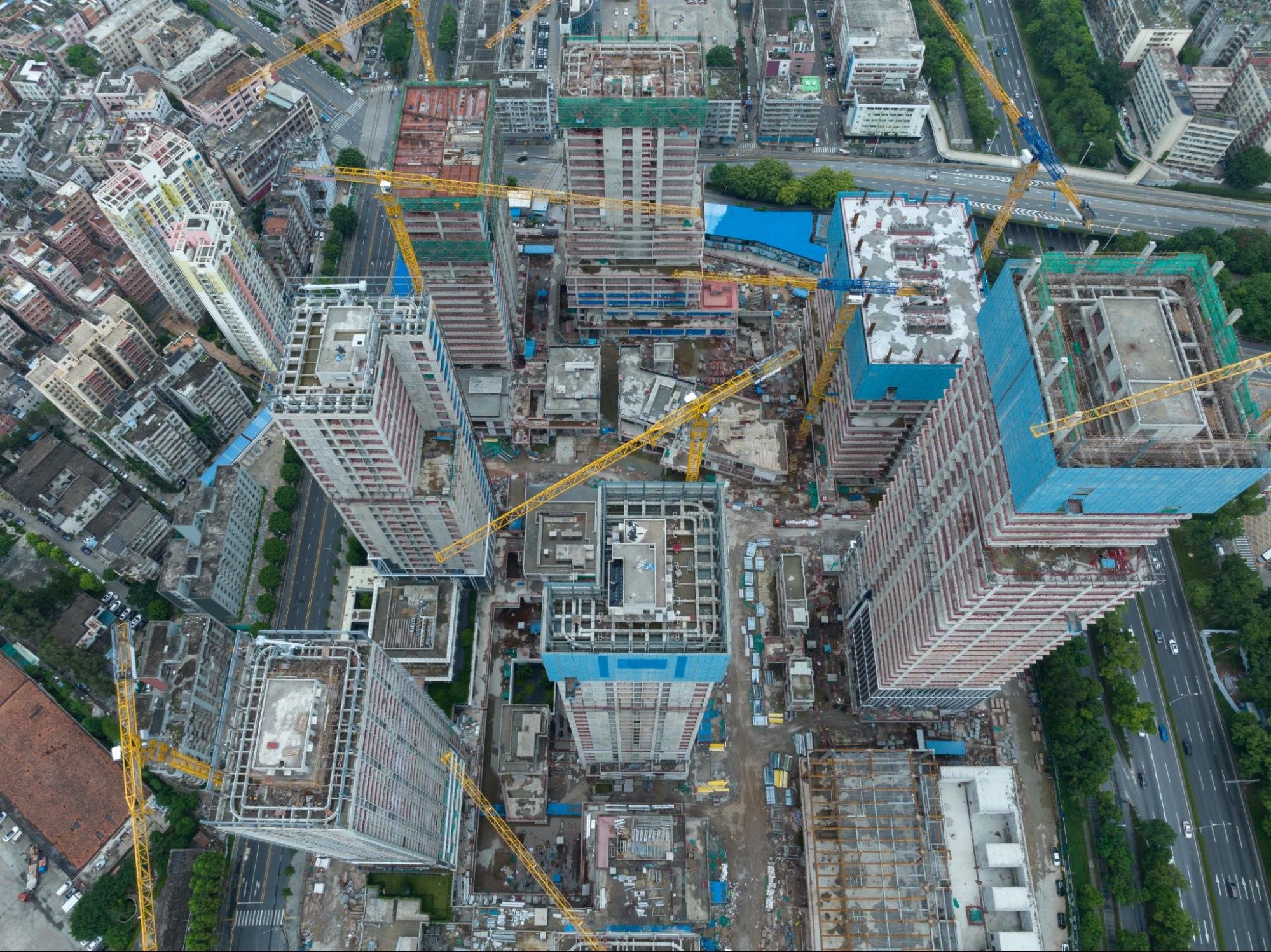
Renovations often involve buildings with outdated drawings or undocumented changes from previous construction work. Three-dimensional scanning captures current conditions before designers begin modifying the space. Architects can use the processed measurements to develop plans for walls, ceilings, openings, and structural elements. Engineers can examine existing components while evaluating proposed systems or equipment. Contractors also benefit from clearer information when estimating work and preparing construction strategies. Better existing-condition data can expose conflicts before crews encounter them during demolition or installation.
Planning Industrial Facility Changes
Industrial facilities contain equipment, piping, structural steel, electrical systems, and other tightly arranged components. Manual measurement becomes challenging when teams must document complicated spaces around operating equipment. Laser scanning can record visible geometry while reducing extensive hands-on measurement throughout the facility. Engineers can use the captured information when planning equipment replacements or production-line modifications. Designers can also check available space around proposed machinery before installation begins. These capabilities can reduce uncertainty when businesses modify facilities where downtime carries substantial financial consequences.
Where Businesses Use Point Cloud Data
Point cloud data supports projects throughout design, construction, surveying, mapping, and long-term asset management. Businesses use detailed spatial records to understand existing conditions and coordinate work more accurately. The same datasets can support immediate project decisions while creating valuable references for future needs. These applications show how reality capture fits into several stages of the physical asset lifecycle.
Design and Construction
Construction teams work with many disciplines that depend on accurate dimensions and coordinated information. Spatial datasets can connect real-world conditions with digital design and construction workflows. Teams can compare planned work with captured geometry across project stages. That connection helps businesses identify problems before those problems become expensive field corrections.
Creating CAD Drawings From Scan Data
Design teams can use processed scans as references when producing computer-aided design drawings. Technicians may extract walls, floor levels, structural elements, equipment locations, and other required features. The resulting drawings can include floor plans, elevations, sections, or detailed site information. CAD conversion makes complex scanning information easier for many project stakeholders to use. However, drawing quality depends on scan coverage, project requirements, and the requested level of detail. Businesses should define required deliverables before scanning begins to avoid unnecessary processing or missing information.
Building BIM Models From Existing Conditions
Building information modeling often requires reliable information about existing structures. Scan data provides geometric references for developing models based on observed site conditions. Modelers can recreate architectural, structural, mechanical, electrical, or plumbing elements from the captured geometry. Model detail should match the project's purpose and accuracy needs. Overmodeling can increase costs without adding useful information for the client. Clear modeling standards help businesses receive practical BIM deliverables instead of unnecessarily complicated digital files.
Comparing Construction Against Design
Reality capture can document construction progress and compare completed work against planned design information. Project teams can scan selected areas after installation or during major construction milestones. Coordinated datasets may reveal differences involving placement, dimensions, elevations, or alignment. Early detection gives teams more time to investigate discrepancies before later work covers them. Contractors can also maintain digital records showing conditions at specific project stages. This comparison process supports quality control while creating useful documentation for owners and project managers.
Surveying and Mapping
Surveying applications extend far beyond documenting walls inside buildings. Spatial scanning can capture terrain, infrastructure, properties, and other large physical environments. Businesses can process these measurements into useful mapping and engineering deliverables. The collection method depends on project scale, required accuracy, access, vegetation, and surrounding conditions.
Creating Topographic Surface Models
Topographic surveys describe terrain elevations and important features across a project area. Scanning technologies can capture large quantities of elevation data during suitable field conditions. Survey professionals can classify measurements representing ground surfaces, vegetation, structures, and other features. Ground classifications can then support contour generation and digital terrain models. Engineers use these products when planning drainage, grading, roads, utilities, and development projects. Reliable terrain information also helps teams evaluate site constraints before committing resources to detailed design.
Mapping Roads and Transportation Assets
Transportation projects often require detailed information about road surfaces and surrounding infrastructure. Mobile scanning systems can collect measurements while equipment moves through transportation corridors. Captured data may document pavement, signs, barriers, curbs, bridges, and roadside features. Engineers can use processed information for design, condition assessments, clearances, and asset inventories. Mobile collection may also reduce time spent measuring directly within active traffic environments. The appropriate method still depends on safety requirements, accuracy standards, and project specifications.
Surveying Large Properties and Development Sites
Large properties can contain elevation changes, buildings, vegetation, roads, utilities, and other complicated features. Aerial collection methods can efficiently document large areas when site conditions permit. Drone photogrammetry or aerial LiDAR can produce dense spatial information across development sites. Professional surveying services can convert collected data into surfaces, maps, measurements, and other deliverables. Developers can use these products during feasibility studies, planning, design, and construction monitoring. Proper control and survey procedures remain necessary when projects require specific positional accuracy.
Asset Management
Physical assets change throughout their operating lives because of repairs, upgrades, wear, and replacement. Accurate spatial records help owners understand current conditions rather than relying solely on outdated documents. Scanning can preserve detailed information about facilities and infrastructure at specific points in time. Businesses can then connect those records with maintenance, engineering, and operational planning processes.
Recording Equipment and Facility Layouts
Facility layouts can change significantly after years of equipment additions and operational modifications. Scanning provides a detailed record of visible equipment and surrounding spatial relationships. Maintenance teams can reference measurements when preparing repairs, replacements, or access plans. Engineers can review available clearances before proposing larger equipment or revised system layouts. Remote access to spatial information may also reduce unnecessary measurement visits to difficult locations. Better facility records can support faster decisions when teams need dependable information about existing spaces.
Supporting Digital Twin Development
Digital twins combine digital representations with information describing physical assets and operating conditions. Spatial scans can provide geometric foundations for selected digital twin applications. Businesses may connect modeled assets with maintenance records, sensor information, specifications, or operational databases. The required level of detail depends heavily on how teams plan to use the system. Excessive geometric detail can create large files without improving operational decisions. A focused data strategy keeps digital twin projects aligned with measurable business requirements.
Preserving Records for Future Projects
Many businesses lose valuable site knowledge when facilities change or experienced employees leave. Digital spatial records can preserve measurable information beyond the original project's completion date. Future teams can revisit captured conditions when planning repairs, renovations, expansions, or equipment replacements. Archived datasets may also help answer questions about previous layouts and construction stages. Their usefulness depends on organized storage, documented coordinates, accessible file formats, and clear project metadata. Good data management turns a one-time survey into a resource that can support later work.
Business Benefits of 3D Reality Capture
Reality capture offers more than an impressive three-dimensional view of a property or facility. Its business value comes from better information, fewer unknowns, and more efficient project coordination. Those advantages become stronger when companies match collection methods with specific project requirements. Understanding the practical benefits helps decision-makers evaluate scanning services based on measurable needs.
Reducing Repeat Site Visits
Traditional workflows often require additional visits when teams discover missing measurements during design. A comprehensive scan can capture much more visible geometry during the initial field effort. Designers can later access measurements that were not originally considered during collection. That flexibility becomes valuable when project requirements change after fieldwork has finished. Reduced travel can save staff time while limiting disruptions at operating facilities. However, teams still need proper scan planning because hidden or obstructed surfaces cannot appear automatically.
Improving Coordination Across Project Teams
Projects move more smoothly when architects, engineers, contractors, and owners reference consistent spatial information. Shared datasets give different disciplines a common view of existing physical conditions. Team members can inspect complicated areas without interpreting separate field notes from multiple sources. Designers can also communicate proposed changes against recognizable representations of the existing environment. Better context helps stakeholders discuss conflicts and design decisions with fewer assumptions. Strong coordination becomes especially useful on projects involving remote teams or complicated existing facilities.
Controlling Rework and Project Risk
Incorrect existing-condition information can create design conflicts that remain hidden until construction begins. Detailed scanning can identify geometry that traditional documentation may overlook or simplify. Project teams can use those measurements to check proposed work against actual visible conditions. Identifying conflicts earlier gives businesses more options to correct designs before installation starts. That preparation can reduce avoidable rework, schedule disruption, material waste, and change-related expenses. Scanning does not remove every project risk, but it can reduce uncertainty around measurable conditions.
Put Point Cloud Data to Work on Your Next Project
Every project decision becomes harder when teams work from incomplete or outdated site information. Point cloud data replaces much of that guesswork with a measurable record of real conditions. That record can keep planning grounded as designs change, questions arise, and work reaches the field. Bring reality capture into the process early, when better information can still shape better outcomes.
Keep up with surveying methods, technology, and project applications. Explore the LNE Surveys blog for clear, useful insights from the field.